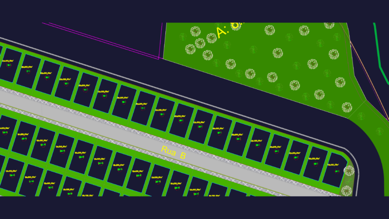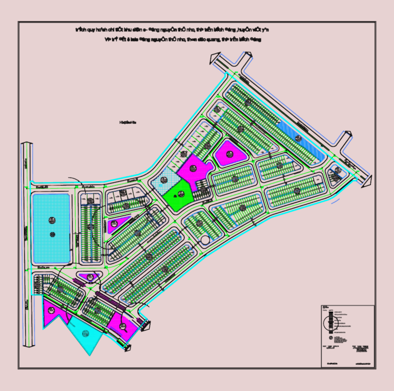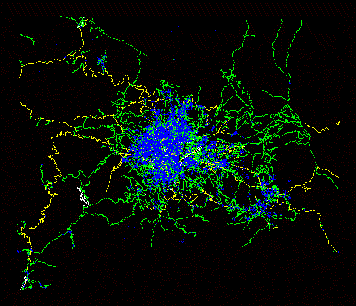
Urban map of Kathmandu, Nepal, in DXF format. The file contains the city’s street network, building footprints, and green areas, covering both the dense metropolitan core and the surrounding road infrastructure.
The vector data is organized into color-coded layers, making it usable for urban design, site analysis, and large-scale context modeling in AutoCAD, Rhino, or Revit. Nepal Kathmandu city map.