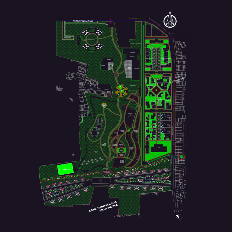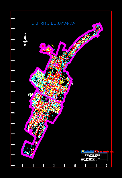
COFOPRI 2011 CATASTRAL MAP – DISTRICT COORDENAS Jayanca UTM – LAMBAYEQUE
Drawing labels, details, and other text information extracted from the CAD file (Translated from Spanish):
informal property formalization agency, real property rights, consolidation project, pcdpi, cadastre sub-component, ca. the tamarind, ca. san jorge, cultivation ground, river motupe, quebrada zurita, market, jayanca, lambayeque, district:, province:, consolidation project informal property rights, south, hemisphere:, area:, datum:, scale:, elaborated:, address:, department:, cadastre, cadastral urban, jayanca district, jayanca