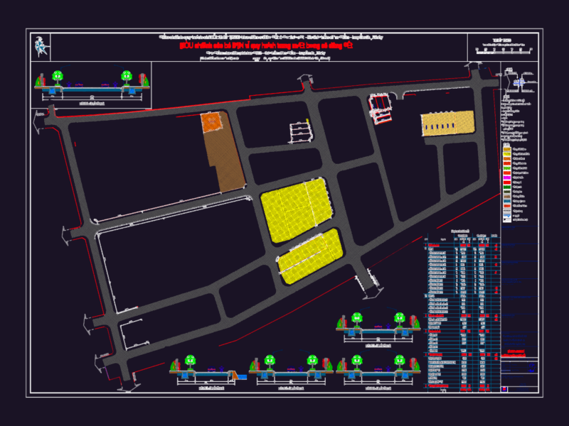
A comprehensive topographical survey plan showing the Komleh area with detailed elevation data. This drawing features contour lines ranging from approximately 328 ft to 357 ft, with spot heights marked throughout the site. The survey includes various site features identified in the legend such as lamp posts, high-power electrical poles, roads (categorized as A-Road and B-Road), pits, survey stations, and tea garden areas. Elevation points are clearly marked, with two reference heights noted (H1=347.29 ft and H2=357.68 ft). The plan uses a numbered coordinate system for precise positioning and includes standard surveying symbols for features like trees, enclosures, and utility elements. The imperial measurement system (feet) is utilized throughout, with the drawing prepared by a team including designer Reza Lak, draftsperson Morteza, and checker Mostatfa Lak.
Topographical Survey Plan of Komleh area with Contour Lines