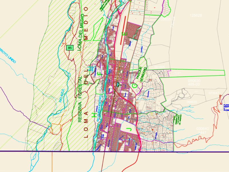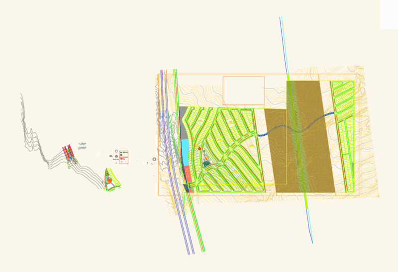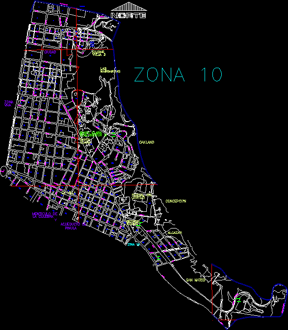
File with zone 10 in Guatemala City – Guatemala – All streets digitized ;Avenues, diagonals and colonies.
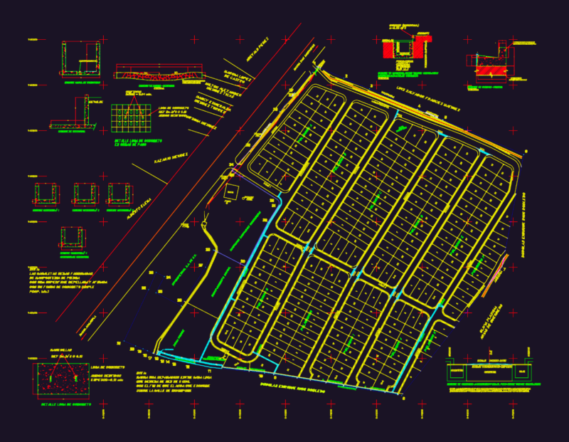
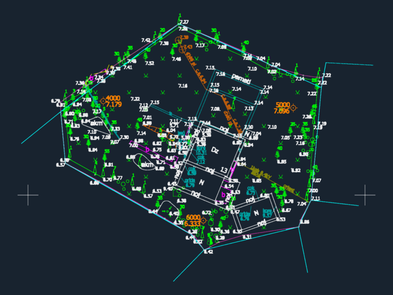
Drawing labels, details, and other text information extracted from the CAD file (Translated from Spanish):
Street, avenue, avenue barranquilla, reform avenue, icaiti, bird, avenue, bird, bird, street marshal cross, obelisk, Street, boulevard los proceres, Street, avenue, Street, avenue, Street, diagonal street royal villa of guadalupe, Street, avenue, Street, avenue, bird., avenue, bird, avenue, Street, oakland, colony, zone, Street, bird., Street, avenue, Street, avenue, Street, avenue, Street, avenue, Street, avenue, Street, avenue, Street, avenue, Street, avenue, Street, bird., bird, avenue, bird, avenue, Street, diagonal, Street, avenue, Saint Matthew, lotification, boulevard, the proceres, el salvador road, Street, Mars field, college, Francisco, marroquin, bird, boulevard of, the gallery, bird, alcazar, colony, conception, colony, Street, avenue, Street, avenue, bird, Street, zone, Street, bird, Street, avenue, Street, avenue, Street, sectors by indices, zone, residential type, city, monocle of, the Viper, aqueduct, Pinula, live, santa clara, zone, city, old woman, margaritas, the, oakland, farmhouse, portal of, conception, alcazar, Saint Matthew, broken, sound, the Ville, santa, clear