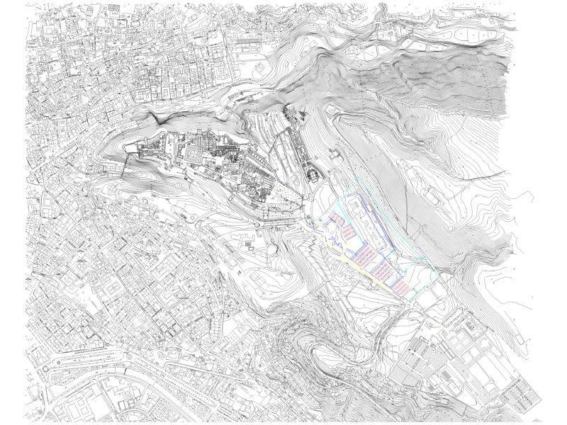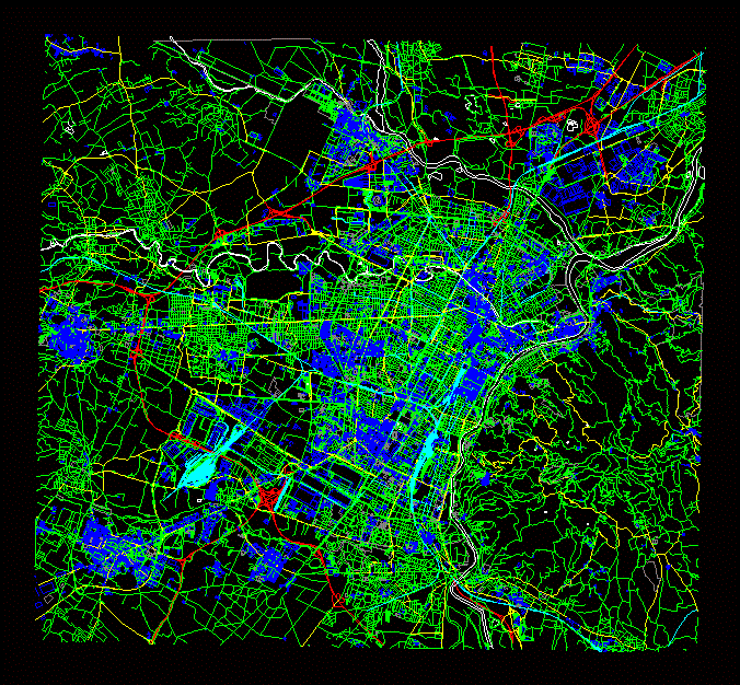
Turin, Italy city map provided as a DXF model for AutoCAD and other CAD software. This urban layout includes detailed layers for the street network, major highways, building footprints, and designated green areas. The drawing covers the central metropolitan area and surrounding boroughs, illustrating the city’s grid and the path of the Po River.
Technical layers differentiate between primary arterial roads, secondary streets, and residential blocks. This file is suitable for site context analysis, urban planning, and large-scale architectural mapping projects in the Piedmont region. Stadtplanung und straßenplanung.