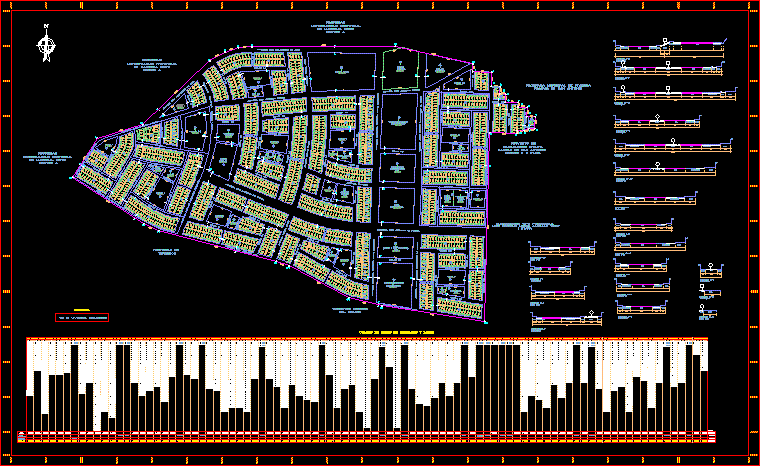
Pampas San Antonio – Plane – Peru
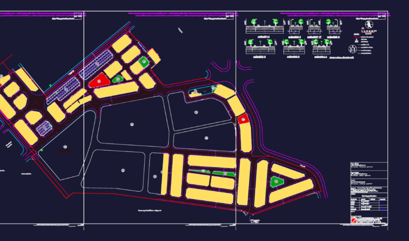
Drawing labels, details, and other text information extracted from the CAD file (Translated from Spanish):
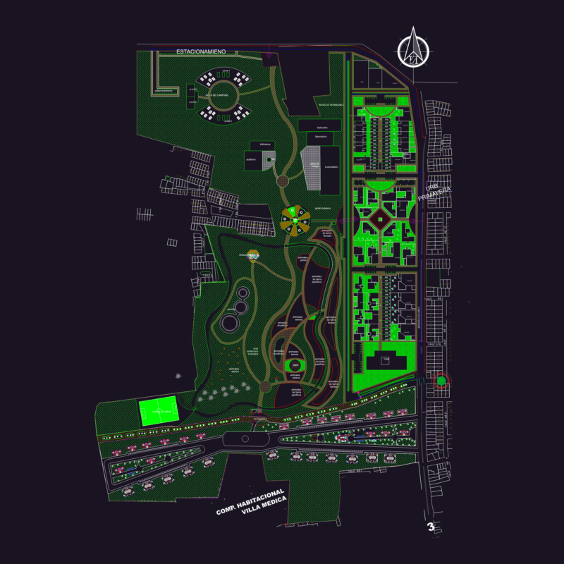
box of apple areas lots, modification of the, urban habilitation project, flat, moquegua, marshal, district, province, Department, moquegua, layout lotization, total mz, total, living place, equipment, san antonio sector, pampas of, grandchild, avenue san antonio west, Street, passage, Street, passage, Street, san antonio south avenue, bulwark, avenue amparo, Street, passage, Street, passage, Street, santa cruz avenue, Street, passage, Street, avenue san antonio norte, avenue san antonio de padua, Street, passage, Street, passage, Street, avenue mariscal domingo grandson marquez, Street, central avenue, Street, passage, Street, avenue san antonio norte, Street, passage, Street, avenue jose carlos mariategui la chira, Street, passage, Street, passage, Street, avenue santa fortunata, Street, avenue amparo bastion dogwood, cornel, Street, passage, Street, Park, local, Social, childish, Park, market, worship, local, Park, social place, cradle, Park, e.g., Park, hospital, Park, social place, Park, complex, cultural, Park, multifamily housing, home, worship, central civic, square, civic Center, multifamily housing, sectorial, Park, education, c.e., Park, e.g., national, police, From Peru, communications, Park, social place, cradle