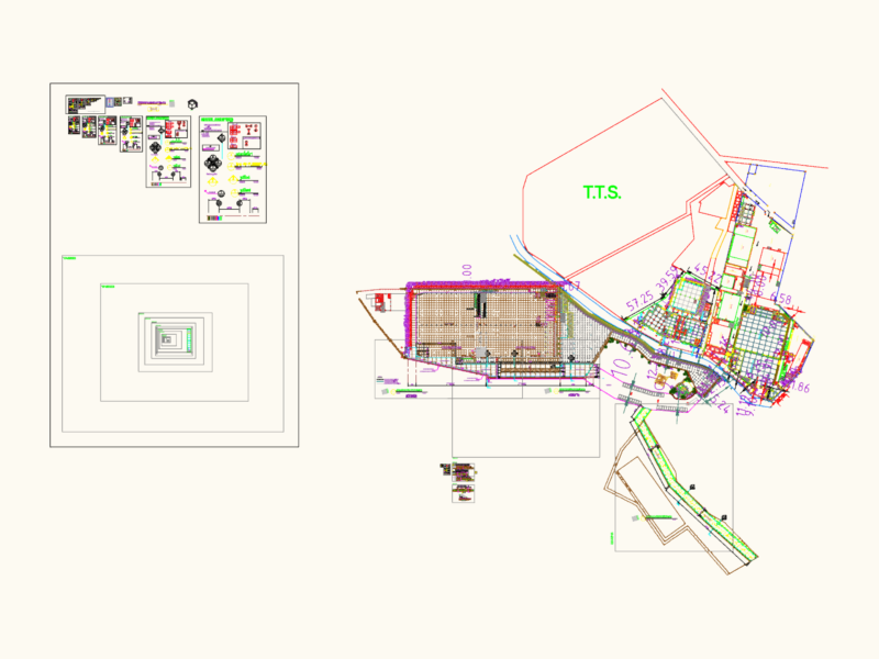
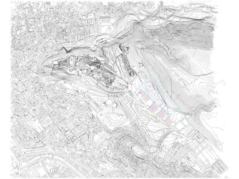
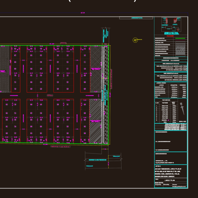
FULL PROJECT EARTH MOVING, PLANNING AND ROAD
Drawing labels, details, and other text information extracted from the CAD file (Translated from Spanish):
drawn by :, fabiorian code, date :, issued to :, owner :, scale :, content :, engineer :, rev., date, description, performed, revised, flat number, project :, address :, revision, xxxxxxxxxxxxxxxxxxxxxxx, indicated, xxxxxxxxxxxxxxxx, xxxxxxxxxxxxxxxxx, street xx, av. xx, valencia, carabobo, is-x, juan p. apiaries, status of the plan, reference planes, code of the plan or document, original emission of the document, —-, modified topography general.dwg, residential complex loma verde, green loma consortium, santa teresa-ocumare national road, municipality, Simon Bolivar, San Francisco de Yare, Edo. miranda, erikson soto, modified topography south terrace, coordinates, elevation, north, east, longitudinal profiles, tank, slope, green area, space for vegetable layer, module neighborhood inside, av. south, recreation area, data point, electricity tower, natural topography, vertical, vertical geometry, horizontal geometry, distance, progressive, natural terrain elevation, street axis alignment, modified terrain, modified topography