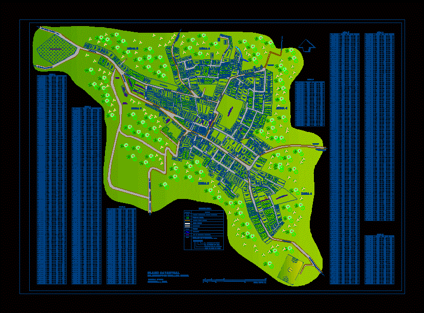
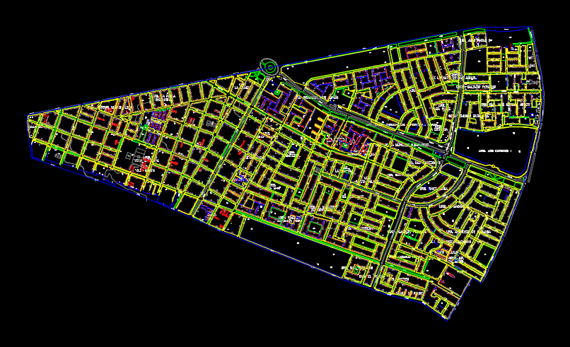
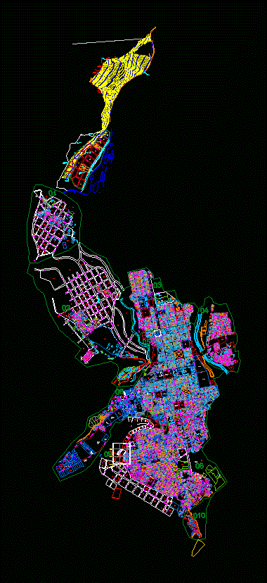
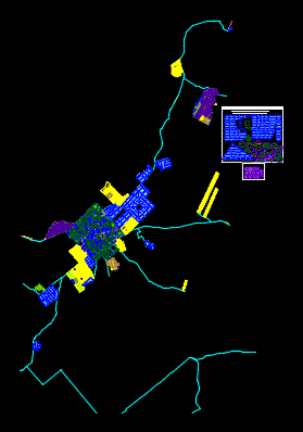
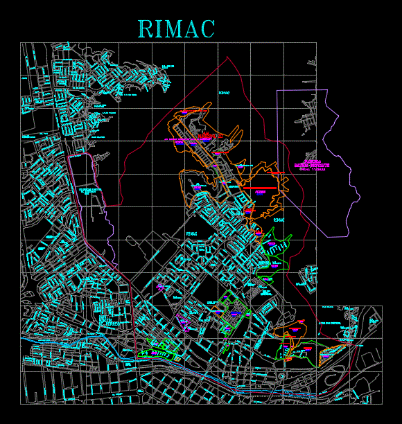
cadastre Drawings in cadastre Popular Recent Older Price (Low to High) Price (High to Low) Title (A - Z) Title (Z - A) View Details Cadastre Municipality Of Pachalum; Quicho; Guatemala DWG Block for AutoCAD by CAD Drawings in City Plans $3.87 View Details Cadastrecatastro – Plano Metropolitan Manzaneo Trujillo DWG Plan for AutoCAD by CAD Drawings in City Plans $3.87 View Details Cadastre Arequipa DWG Block for AutoCAD by CAD Drawings in City Plans $3.87 View Details Pearl District Catastro – Peru DWG Block for AutoCAD by CAD Drawings in City Plans $3.87 View Details Map Carhuaz – Peru DWG Detail for AutoCAD by CAD Drawings in City Plans $3.87 View Details Cadastre Quillabamba DWG Detail for AutoCAD by CAD Drawings in City Plans $3.87 View Details Asuncion Cadastre; Paraguay DWG Block for AutoCAD by CAD Drawings in City Plans $3.87 View Details Cadastre Altos City; Mountain Range; Paraguay DWG Block for AutoCAD by CAD Drawings in City Plans $3.87 View Details Cadastral Plan Of Rimac DWG Plan for AutoCAD by CAD Drawings in City Plans $3.87 Previous 1 … 8 9 10 11 Next