Khokana Topography DWG Block for AutoCAD

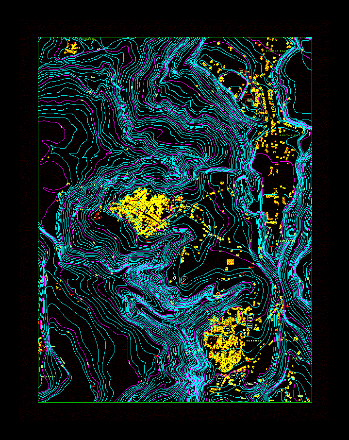
Contour map of Khokana
Drawing labels, details, and other text information extracted from the CAD file:
is strictly prohibited and is subject to legal action., reproduction of maps in paper and digital forms without prior permission of dhud, reform and management. the rights of these maps have been reserved to hmg, this map has been approved by the mapping committee of hmg ministry of land, manichur lekh, kartike bhanjyang, nagarjun range, bhim dhunga, chandragiri range, bhagawan danda, godawari bhanjyang, phulchoki range, daksinkali, badeshwor danda, jamacho, sivapuri range, nagarkot, sanga, prepared by:, date:, kathmandu urban development project, project management unit, department of housing and urban development, babar mahal, kathmandu., scale:, contour interval:, sheet no:, note:, supplementary information of ward committee. it serves as an instrument for, compilation and inclusion of additional field information on dense areas., meters, cutting, contour, bench mark, sewerage line, forest, garden, trees, park, educational building, stupa, mosque, bridge or culvert, unmetalled road with, metalled road with, track, temple, church, river, stream, other public building, hospital or healthpost, police station, settlement, ward boundary, district boundary, p.s., p.b., historical monuments, crematory, pond, high tension line, kathmandu valley, base maps of, legend, in open areas, contours have been drawn by providing spot heights with levelling, survey. district, municipal, vdc and ward boundaries have been delineated with the, planning purposes and should be revised continuously., joint venture of :, sheet index, base maps of municipal areas of the kathmandu valley, areas have been deliniated with the supplementary information of ward committee., municipal boundary, municipal areas of the kathmandu valley, base maps, in open areas, contours have been drawn by providing spot heights with levelling, it serves as an instrument for planning purposes and should be revised continually., bagmati river, k h o k n a, khola, nakhu, b u n g m a t i, bagmati river, leprosy hospital, tallotar, saibu bhaisepati vdc, khokana vdc, saukhel vdc, sunakothi vdc, bungmati vdc, saibu, bhaisepati, vdc, chalnakhel vdc, salko, b h a i s e p a t i, karya binayak, mandir, s a u k h e l, kathmandu, k h a r k a g a u n, s a n o k h o k n a, k h o k a n a, c h h y a s i k o t, pond, canal, stream, water, tank, wai wai, factory
Raw text data extracted from CAD file:
| Language | English |
| Drawing Type | Block |
| Category | Handbooks & Manuals |
| Additional Screenshots |
 |
| File Type | dwg |
| Materials | Other |
| Measurement Units | Metric |
| Footprint Area | |
| Building Features | Garden / Park |
| Tags | autocad, block, contour, DWG, map, topography |


