Map Of Bolivia Z 21 DWG Block for AutoCAD

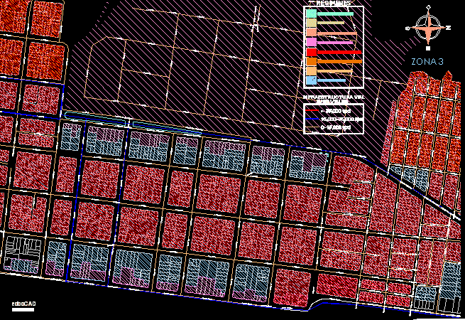
Map of Bolivia Area 21.
Drawing labels, details, and other text information extracted from the CAD file (Translated from Spanish):
san bartolo, the charm, future frame, ascension, callabeco, san lorenzo, co. the petas, santa rita, salinas de almeida, san juan, berlin, the track, piles, pasury, the carmen, tobite, santa efigenia, santa fe, san wild, the yungas, eastern, cork oak, san antonio, chimema, santa maria, kings, san rafael, san joaquin, villa esperanza, florida, san lorenzo new, tiger’s well, pompeii, santa fe del caribe, beautiful horizon, chube, tapera, sepema, holy rosary, san luisito, puerto rico, santo tomas , paquio, cocalito, paradise, beautiful mouth, mojoncito, the pebbles, santiagom, a, summer, rancho totomoaca, suto, rio lopez, lime, panorama, nativity, sebastian, the victory, the headers, the puquios, altamira, naranjal , the retreat, the door, arizona, the spinal, providence, pozones, campina, san fernando, san miguelito, good view, oriente, san roque, porvenir, santa clara, san pedro, cantaros, patuju, perseverance, mirin, la gaiba , rincon del tigre, santo corazon, marco sur, palmarito, saint sunday, lunarcito, robore, santa ana de chiquitos, mercedes, v erdum, sn. lucas, chontal, el tunas, bahia sn. juan, shift, spring, the twisted, paquiocito, beautiful view, retirement berlin, pto. roxana, miraflores, garsas, bugres, mutun, new world, hill, sebastian de la bahia, regreo, cat, candelaria, sn. francisco, beautiful lagoon, san jose, santa rosa, belen, capon, flower, rattle, puquios, the cusis, san sebastian, santa teresita, san matias, the petas, lagoon, toco largo, tas, lgna. the stonemasons, lgna. motacu, lgna. comfort, Laguna mandiore, lagoon la gaiba, potureros, curaves, marsh of the Caribbean, spinal field, chiquitano, milestone, old island landmark, northern milestone, laguna mandiore, carahuatal milestone, south landmark of the south east landmark, landmark sud de lgna. the gaiba, northern landmark of lgna. the gaiba, south landmark of the lagoon, uberaba, northern landmark, of the, lgna uberaba, milestone on the, curiche grande, serrania santiago, serrania lucuma, milestone cerrito, of san matias, corabecas, chotata, santa maria, los magueses, lgna Big bay, recreation, co. the cantaros, the havana, lgna. the monkeys, hill the charm, hill putatoe, hairstyle, vera cruz, ranch gonzalo, jorori, rancho cerrito, lagoon marin, black lagoon, dirty water, cecilia, san simon, san miguel viejo, all saints, the penoco, the bajio, taruma, the cairo, field in the middle, san silbestre, rosario, cupesi, triumph, perotoces, quijarro, san miquicho, san pedrito, tacuaral, puquio, guapango, victoria, quebracho, retono, camelia, penjamo, cabana rica, santa elena, san francisco, juan xxiii, new port, the dawn, psalm xxiii, southern cross, valdemar, puerto pacheco, bancas de otuquis, or tucavaca, lagoon caceres, coimbra landmark, santa fe island, puntamancesped, landmark bahia negra, landmark cerrito jara, milestone, well yare, otuquis, tacuaral landmark, milestone and yacadigo, tamarinero landmark, milestone pimentera, milestone carandazal, mutun hill, port suarez, hill red, orange station, est. Aguas Calientes, Hito Coroneles Sanchez, Bobrapa, Confl.rios Negro Paraguay
Raw text data extracted from CAD file:
| Language | Spanish |
| Drawing Type | Block |
| Category | City Plans |
| Additional Screenshots |
 |
| File Type | dwg |
| Materials | Other |
| Measurement Units | Metric |
| Footprint Area | |
| Building Features | |
| Tags | area, autocad, beabsicht, block, bolivia, borough level, DWG, map, political map, politische landkarte, proposed urban, road design, stadtplanung, straßenplanung, urban design, urban plan, zoning |


