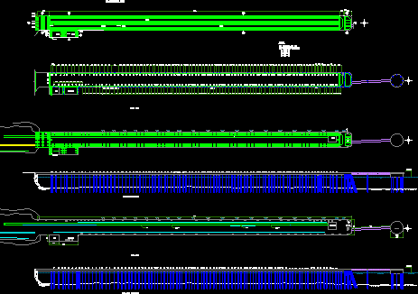
Cadastral Map Sucre DWG Block for AutoCAD
ADVERTISEMENT

ADVERTISEMENT
Sucre Cadastral Map with Topography
Drawing labels, details, and other text information extracted from the CAD file (Translated from Spanish):
military geographic institute, department of photogrammetry, department:, province:, area of work:, delivery date:, sheet distribution, photogrammetric restitution made in instruments, scale:, sucre, oropeza, sucre city
Raw text data extracted from CAD file:
| Language | Spanish |
| Drawing Type | Block |
| Category | Handbooks & Manuals |
| Additional Screenshots |
 |
| File Type | dwg |
| Materials | Other |
| Measurement Units | Metric |
| Footprint Area | |
| Building Features | |
| Tags | autocad, block, cadastral, DWG, map, sucre, topography |


