Cadastre Map FerreÑAfe DWG Plan for AutoCAD
ADVERTISEMENT

ADVERTISEMENT
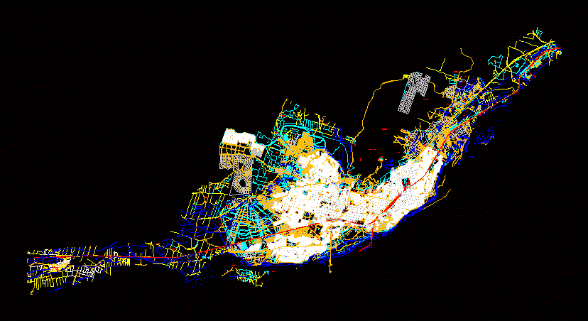
Cadastral plan of the province of Ferreñafe; updated.
Drawing labels, details, and other text information extracted from the CAD file (Translated from Spanish):
Acequia Desaguadero, Calle Cesar Vallejo, Calle José Carlos Mariátegui, Calle Mariano Melgar, Calle Eltriunfo, ca. Jose Olaya – West, ca. conquest, psje. avellaneda, ca. buenos aires east, ca. silver, ca. Cordova, ca. tucuman, ca. rosary, ca. The Alps, ca. holy faith, prolong AC. Juan Castro from Bulnes, ca. the laurels, ca. francisco gonzales burga
Raw text data extracted from CAD file:
| Language | Spanish |
| Drawing Type | Plan |
| Category | Handbooks & Manuals |
| Additional Screenshots | |
| File Type | dwg |
| Materials | Other |
| Measurement Units | Metric |
| Footprint Area | |
| Building Features | |
| Tags | autocad, cadastral, cadastre, DWG, map, plan, province, updated |


