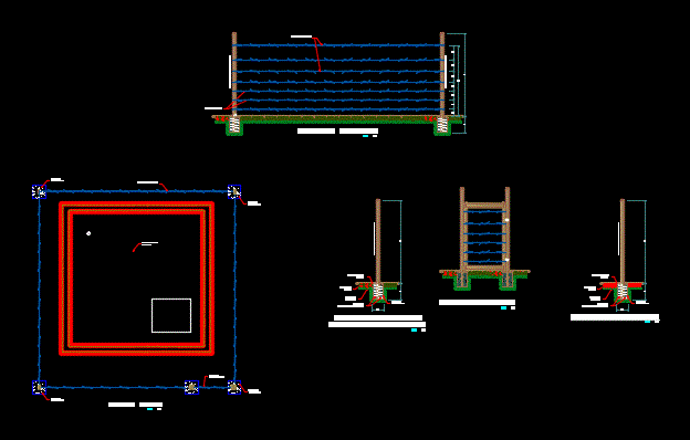
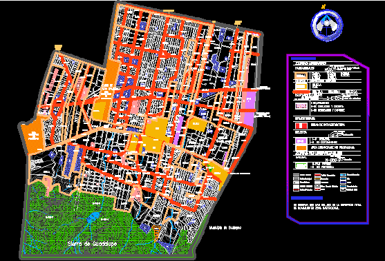
Caracoto District Plane DWG Elevation for AutoCAD

ELEVATION MAP CARACOTO DISTRICT
Drawing labels, details, and other text information extracted from the CAD file (Translated from Spanish):
north elevation, east elevation, south elevation, west elevation, ces, ministry, education, area:, ministry, education, area:, ministry, education, area:, ministry, education, area:, Department, place, district, province, designer, Location, drawing, draft, flat, plotted in centaur s.r.ltda. tel. juliaca, scale, date, design, reviewed, sheet, community of chill, south cement plant, panamericana towards puno, collana second community, pampa towers, populated center, populated center canchi grande, south cement plant, freeway, existing, basic symbology, district boundary, municipal plan limit, urban trace, regional road, primary road, mailbox, electric power line, body of water, channel, Level curve, high voltage posts, secondary road, railroad track, district municipality of caracoto, infrastructure management, draft, approved, reviewed, designer, topography, tertiary road, macro roads, flat, regional road, primary road, secondary road, viability, proposal, local road, section, section, garden, existing, regional road, primary road, secondary road, viability, proposal, tertiary road, section, garden, section, section, section, ministry, education, area:, ministry, education, area:, area, perim. ml., Department, place, district, province, designer, Location, drawing, draft, flat, scale, date, design, reviewed, sheet, topographic map, urban habilitation, caracoto, san roman, fist, Department, place, district, province, designer, Location, drawing, draft, flat, scale, date, design, reviewed, sheet, apple tree, urban habilitation, caracoto, san roman, fist, architecture, Department, place, district, province, designer, Location, drawing, draft, flat, scale, date, design, reviewed, sheet, micro viability lotiation, urban habilitation, caracoto, san roman, fist, architecture, green areas, ministry, education, area:, ministry, education, area:, Ministry of Education, yana yana alberto, via panamericana sur, general table of areas, area, symbol, distribution of areas, area lot, Apple, lots, area lot, Apple, lots, distribution of areas, ministry of ed., recreation area, recreation, Street, lime
Raw text data extracted from CAD file:
| Language | Spanish |
| Drawing Type | Elevation |
| Category | City Plans |
| Additional Screenshots |
|
| File Type | dwg |
| Materials | |
| Measurement Units | |
| Footprint Area | |
| Building Features | Car Parking Lot, Garden / Park |
| Tags | autocad, beabsicht, borough level, district, DWG, elevation, map, plane, political map, politische landkarte, proposed urban, road design, stadtplanung, straßenplanung, urban design, urban plan, zoning |


