Cocachacra DWG Block for AutoCAD

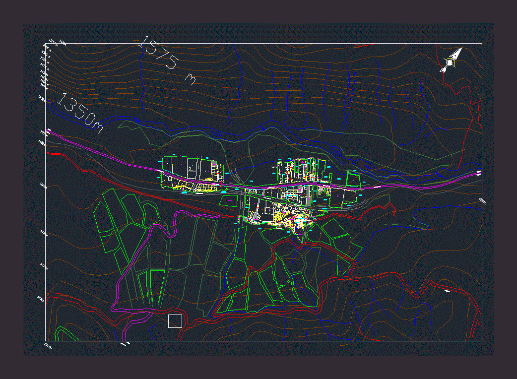
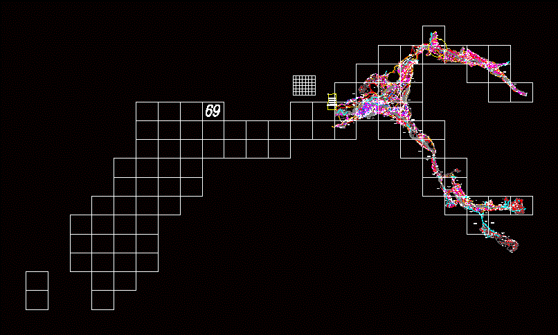
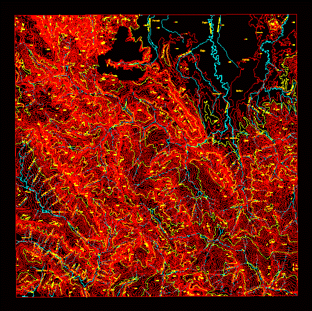
Peru Lima Huarochiri Cocachacra LOCATION – MAP Hydrography Allotment Growing Areas Highway System 1/1000 SCALE
Drawing labels, details, and other text information extracted from the CAD file (Translated from Spanish):
psje. child, q ”, av. sanchez hill, prolongation av. Miguel Grau, av. south central railway, ca. Abelardo Quiñones, Av. alfonso ugarte, psje. atahualpa, av. Miguel Grau, av. jose olaya, av. ramon castilla, av. tupac amaru, psje. rosa davila, central road, av. north central railway, psje. hipolito unanue, hospital, demuna, park, municipality, education, property, land, cultivation, drinking water, line ferrea, third party, ravine naranjito or the cross, quebrada gallinasayque, broken cemetery, church of the, channel, sector ii, cp cocachacra, owned by third parties, serv. communal, popular dining, service, sector i, towards lima, towards cocachacra, virgin of the nativity, towards the oroya, towards san bartolomé, towards chaute, towards santiago de tuna, cocachacra stadium, rímac river, yes, c.e. initial
Raw text data extracted from CAD file:
| Language | Spanish |
| Drawing Type | Block |
| Category | Handbooks & Manuals |
| Additional Screenshots | |
| File Type | dwg |
| Materials | Other |
| Measurement Units | Metric |
| Footprint Area | |
| Building Features | Garden / Park |
| Tags | allotment, areas, autocad, block, DWG, lima, location, map, PERU |


