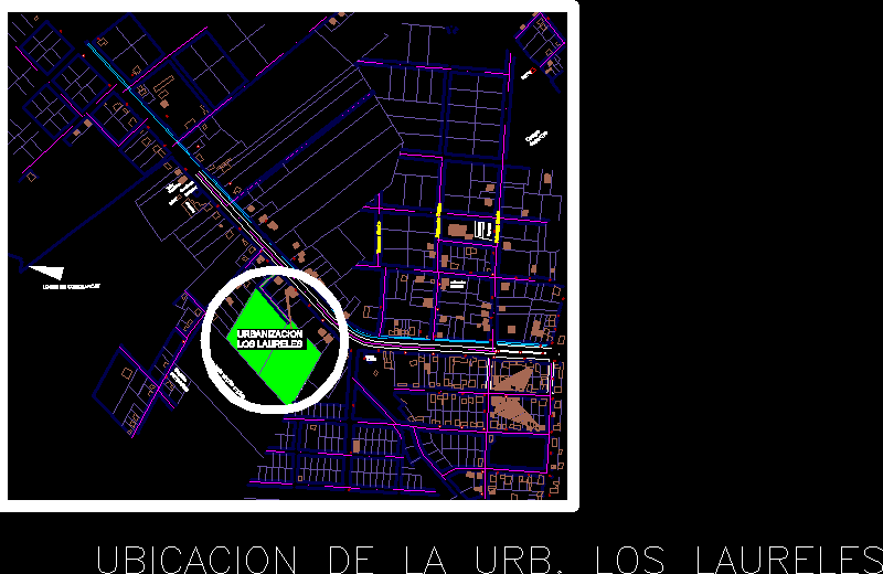
District Juliaca DWG Block for AutoCAD

HARDNESS MAP DISTRICT JULIACA
Drawing labels, details, and other text information extracted from the CAD file (Translated from Spanish):
content:, members:, mamani alcides chura victor isaias ticona belinda mara, ix design workshop, chair, course, arq. percy torrico frisancho, arq. jaime pinto slim, arq. yuri orihuela sotomayor, graph, group:, scale:, date:, August, sheet:, university national george basadre grohmann faculty of engineering architecture geotechnics, intervention plan, content:, members:, mamani alcides chura victor isaias ticona belinda mara, ix design workshop, chair, course, arq. percy torrico frisancho, arq. jaime pinto slim, arq. yuri orihuela sotomayor, graph, group:, scale:, date:, August, sheet:, university national george basadre grohmann faculty of engineering architecture geotechnics, intervention plan, content:, members:, mamani alcides chura victor isaias ticona belinda mara, ix design workshop, chair, course, arq. percy torrico frisancho, arq. jaime pinto slim, arq. yuri orihuela sotomayor, graph, group:, scale:, date:, August, sheet:, university national george basadre grohmann faculty of engineering architecture geotechnics, intervention plan, content:, members:, mamani alcides chura victor isaias ticona belinda mara, ix design workshop, chair, course, arq. percy torrico frisancho, arq. jaime pinto slim, arq. yuri orihuela sotomayor, graph, group:, scale:, date:, August, sheet:, university national george basadre grohmann faculty of engineering architecture geotechnics, intervention plan, fist, trade activity, symbol, description, via ferrea regional, residential activity, health activity, educational activity, management activity, recreational activity, agricultural area, other uses, industrial activity, milestones, borders, rivers, second order, nodes, landscape picture system, symbol, description, paths, natural edge, first order, third order, hills, parks, malls, streets avenues, unconsolidated parks, symbol, description, pedestrian passages, pocket parks, open space system, via interoceanica south, primary route without consolidation, secondary route unbound, via provincial, symbol, description, sideline, primary route, system of movements, via unbound major premises, via unlimited local premises, road conflicts, system of activities, sector chingora award, ayabacas sector flowers pampa, mercedes ccaccachi, kokan chañocahua, unocolla chañocahua, ilo iloocha quinray, Mute one two, ccaccachi, tacamani ranch chañocahu, chingora, Ayabacas wonderland, dirty collana, I will, chullun quiane, huray jaran, tacamani ranch, huichay jaran, center jaran, Santa Maria, Ayabacas sector sutuca, ccaccahi nativity, Chimpanzee, sector moquegachi corisuyo, Sollata Ranch, quincha cocha, ranch pucachupa, central tacaman ranch, sector post pata corisuya, central island, corisuyo island, esquen tariachi chaupiccacca, ski attachment, canteriahi island, ayabacas, wonders, mucra, kokan, vilcapata, guys, antipampilla island, central, julian collina, jatum jallpa, juliaca, aviation bias, escuri corihuata, I live cachi, accomocco, screams, pampa taparachi, ranch the victory, towns, state ownership, private property, medium term urban expansion, urban reserve, public ownership, symbol, description, expansion
Raw text data extracted from CAD file:
| Language | Spanish |
| Drawing Type | Block |
| Category | City Plans |
| Additional Screenshots |
 |
| File Type | dwg |
| Materials | Other |
| Measurement Units | |
| Footprint Area | |
| Building Features | Car Parking Lot, Garden / Park |
| Tags | autocad, beabsicht, block, borough level, district, DWG, juliaca, map, political map, politische landkarte, proposed urban, road design, stadtplanung, straßenplanung, urban design, urban plan, zoning |


