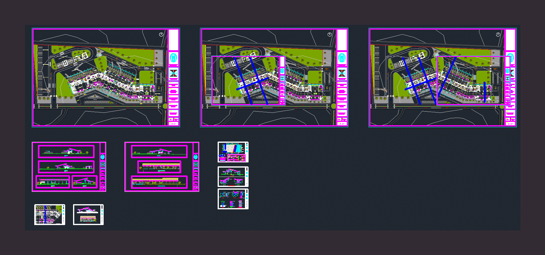
Estates And Location Map DWG Plan for AutoCAD

This plane contains the survey 2 polygons; one with the respective offset angles and the third is a location map and location (The plans are in the
Drawing labels, details, and other text information extracted from the CAD file (Translated from Spanish):
nº lamina :, name of the project :, civil engineering, faculty :, scale: indicated, revised by :, ing. batons mayta, july freddy, raised by :, echabaudis matamoros, joel, drawn by :, stamp and signature :, brigade :, approved by :, owner :, subject: topography i, vertex, internal angle, direct azimuth, reverse azimuth, side, length, ab, bc, cd, of, ea, rio chilca, florid river, av. leoncio meadow, las palmas, av. the Incas, pozzo, av. railroad, roses, pachacútec, césar vallejo, san felipe, alisos, auquimarca, chilca pata, parking, minimum normative front, regulatory lot area, facade alignment, frontal, lateral, rear, maximum height, percentage of free area, coef. building, net density, uses, partial area, total roof area, area of land, free area, date :, scale :, plan :, project :, sheet :, signature prop.: proy firm:, region, province, district, urbanization, name of the road, property number, block, lot, sub. lot, junin, huancayo, chilca, av. leoncio meadow, location map
Raw text data extracted from CAD file:
| Language | Spanish |
| Drawing Type | Plan |
| Category | Handbooks & Manuals |
| Additional Screenshots | |
| File Type | dwg |
| Materials | Other |
| Measurement Units | Metric |
| Footprint Area | |
| Building Features | Garden / Park, Parking |
| Tags | angles, autocad, DWG, location, map, plan, plane, polygon, respective, survey, topography |


