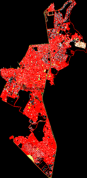
Hornopiren Plane DWG Block for AutoCAD
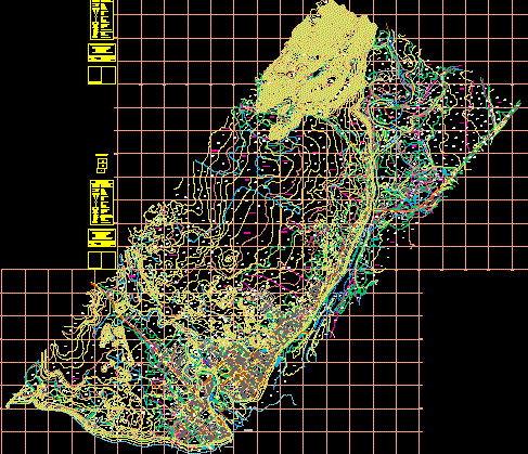
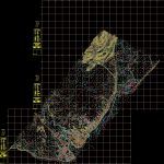
Hornopiren Town oficial plane , Hualaihue commune – in Palena province – X region – Chile -Streets ,heights , housings , lots , etc.
Drawing labels, details, and other text information extracted from the CAD file (Translated from Spanish):
Clear, leafy trees, shadow, vegetation, leafy trees, vegetation, Clear, shadow, vegetation, i.city of hualaihue, digital airfield survey, made by:, geocen ltda., technical background, date:, photographs used:, ground control, geocen, paved road network, unpaved road network, paw print, path, Wall, Railway Line, buildings, post, main drainage, secondary drainage, lagoon, secondary level curves, escarpment, altitude height, area trees, flight geocen scale, antenna, camera cap, silo, channel, monument, index level curve, phone: fax:, marian father providence, scale, sheet location, sector hornopiren, hualaihue commune, leafy trees, Clear, cemetery, vega, diego portals, pedro maldonado, lake pinto shell, street settlers, avda. bernardo o’higgins, of September, ignacio carrera pinto, rio vodudahue, river swans, carlos villarruel, hotel, sawmill, southern pacific passage, street settlers, Water, potable, square, municipality, fitness center, school, corporate headquarters, registry, civil, lake cabrera, carabineros, avda. military engineers, open center, barcelo river, b. o’higgins, avda. military engineers, new street one, September, Austral road, Mountain range, snowdrift, corporate headquarters, copec, court, the alersales, emase, public ramp, school, casino, Lyceum, hornopiren, polyclinic, santa, Teresa, phone, public, church, home, parochial, playground, church, center, civic, firefighters, temple, consulting room, rio cuchildeo, black river creek, Chilean sea, i.city of hualaihue, digital airfield survey, made by:, geocen ltda., technical background, date:, photographs used:, ground control, geocen, paved road network, unpaved road network, paw print, path, Wall, Railway Line, buildings, post, main drainage, secondary drainage, lagoon, secondary level curves, escarpment, altitude height, area trees, flight geocen scale, antenna, camera cap, silo, channel, monument, index level curve, phone: fax:, marian father providence, scale, sheet location, sector hornopiren, hualaihue commune, leafy trees, vegetation, Clear, leafy trees, shadow, Clear, leafy trees, vegetation, leafy trees, vegetation, ford, vegetation, leafy trees, vegetation, leafy trees, vegetation, leafy trees, vegetation, public road lake race, bridge, hornopiren, austral road chaqueihua, i.city of hualaihue, digital airfield survey, made by:, geocen ltda., technical background, date:, photographs used:, ground control, geocen, paved road network, unpaved road network, paw print, path, Wall, Railway Line, buildings, post, main drainage, secondary drainage, lagoon, secondary level curves, escarpment, altitude height, area trees, flight geocen scale, antenna, camera cap, silo, channel, monument, index level curve, phone: fax:, marian father providence, scale, sheet location, sector hornopiren, hualaihue commune
Raw text data extracted from CAD file:
| Language | Spanish |
| Drawing Type | Block |
| Category | City Plans |
| Additional Screenshots |
 |
| File Type | dwg |
| Materials | |
| Measurement Units | |
| Footprint Area | |
| Building Features | Car Parking Lot |
| Tags | autocad, beabsicht, block, borough level, chile, commune, DWG, plane, political map, politische landkarte, proposed urban, province, region, road design, stadtplanung, straßenplanung, town, urban design, urban plan, zoning |


