Land Use – Ixhuacan DWG Full Project for AutoCAD

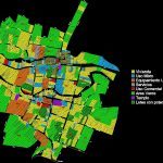
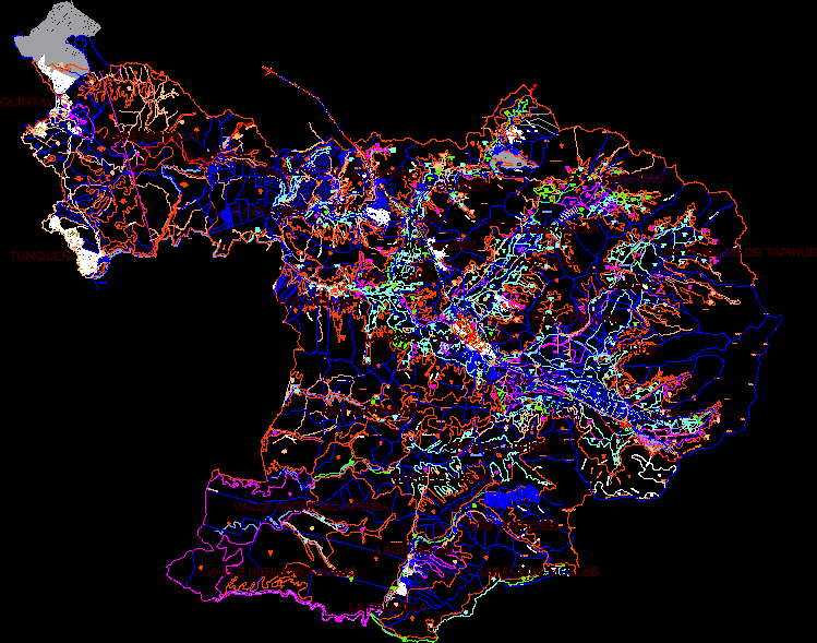
Project pedestrian corridor with bike paths; recreation areas and streets intervened. It also contains land use in the treatment area.
Drawing labels, details, and other text information extracted from the CAD file (Translated from Spanish):
street nicolas bravo, River, galean street, street francisco javier mine, River, street maria luisa flores, benito juarez street, nameless street, nameless street, Vegetal, nameless street, Vegetal, benito juarez street, Street, street maria luisa flores, street nicolas bravo, street maria luisa flores, Street, crops, Riverside, street maria luisa flores, street nicolas bravo, River, River, aldama street, street ignacio zaragoza, crops, River, May street, aldama street, River, May street, crops, Vegetal, street jeans, crops, street allende, alley tepeyac, Francisco Javier, plots, River, alley without a name, street morelos, potato sowing, Street, morelos, crops, aldama, crops, nameless street, street morelos, River, aldama street, River, rivera, warrior street, aldama street, River, vegetation, beyond, matamoros, galeana, Vicente Guerrero, matamoros, street ignacio zaragoza, street morelos, River, matamoros, River, matamoros, javier mine, Maria Luisa Flores, galeana hermenegildo, moctezuma, emilio carranza, street emilio carranza, benito juarez street, galeana hermenegildo, Street, street matamoros, benito juarez street, street emilio carranza, crops, Street, moctezuma street, Street, crops, benito juarez street, road the sand, Street, alley, Vicente Guerrero, living place, mixed use, urban equipment, services, Commercial use, green area, temple, lots with project potential, local type
Raw text data extracted from CAD file:
| Language | Spanish |
| Drawing Type | Full Project |
| Category | City Plans |
| Additional Screenshots |
 |
| File Type | dwg |
| Materials | |
| Measurement Units | |
| Footprint Area | |
| Building Features | Car Parking Lot |
| Tags | areas, autocad, beabsicht, bike, borough level, corridor, DWG, full, land, land use, mexico, paths, pedestrian, political map, politische landkarte, Project, proposed urban, recreation, road design, stadtplanung, straßenplanung, streets, urban design, urban plan, zoning |


