Landscape – Imagenintervencion Urbana – Desaguadero DWG Block for AutoCAD

IMAGING SYSTEM AND LANDSCAPE – IMAGENINTERVENCION URBANA – DESAGUADERO fist.
Drawing labels, details, and other text information extracted from the CAD file (Translated from Spanish):
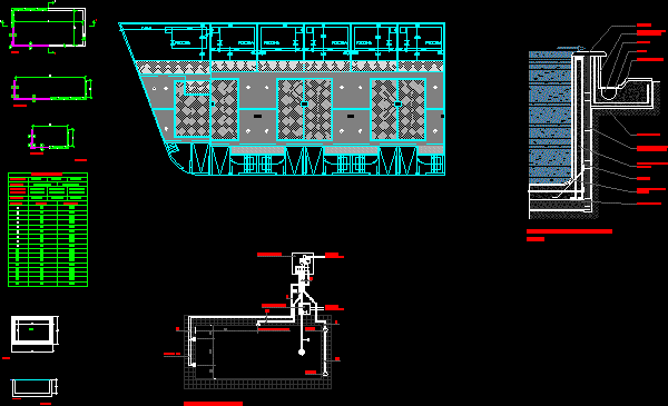
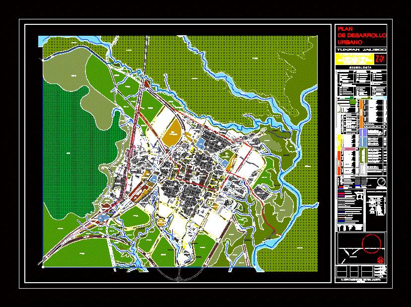
urban planning iii, region puno – desaguadero, tourist commercial axis, scale:, indicated, sheet:, architecture and design, urban intervention – drain, componenetes – landscape and image, date:, commercial sector – south entrance, pro, project:, flat, flat:, teacher :, student :, arq. gilbert tinajeros salcedo, code :, eduardo mejia saira, national university jorge basadre grohmann – faua, landscape – image, hill huayllaveco, intangible zone, buffer zone, sector park, planimetry – landscape and image plane, entrance – south gate, whereabouts of taxis, pedestrian bridge, furniture, area of estares, characterization of the landscape and image, meadow, – with predominance, grass, chillihuares, ichu and iru, legend, elemnetos of the landscape, queñoa -, shrub tree, eucaliptus globulus -, tree , fescue-, small shrub, cupressus lusitanica-, adapted to the climate, buddleia sp. -, colli or kiswar tree, grows on blivian side, chuquiraga -, small, ind area. light, collection center, main, paths, image rubana, secondary, nodes, milestone, edges, flows, act. dynamizer, edge, visual directionality to the landscape, lacustrine, in secondary paths, commercial corridor, arborizado, commerce, milestone of control and opening to the axis, longitudinal. contain the prespective, housing, change of profile in, the use of ground, visual barrier, and acoustic, central way, t. mixed, road, solar interfernecia, limits the confor of, commercial road, does not interfere with, clables areos, generates shade and comfort, in pedestrian zone, fast walk of step, without interferences of trees, the separation cancels interferences, of underground networks, the separation of the edilicia allows, radios of turn and visibility, generation of crosses with, presence of green elemntos, urban character. road, sections of characterization of the landscape, on the scale of the pedestrian, urban landscape character, on a pedestrian scale
Raw text data extracted from CAD file:
| Language | Spanish |
| Drawing Type | Block |
| Category | City Plans |
| Additional Screenshots |
 |
| File Type | dwg |
| Materials | Other |
| Measurement Units | Metric |
| Footprint Area | |
| Building Features | Garden / Park |
| Tags | autocad, beabsicht, block, borough level, DWG, landscape, park, political map, politische landkarte, proposed urban, road design, stadtplanung, straßenplanung, system, urban design, urban plan, urbana, zoning |


