Longitudinal Profile Of Water Levels In Melincue Lake, Sante Fe, Argentina DWG Block for AutoCAD
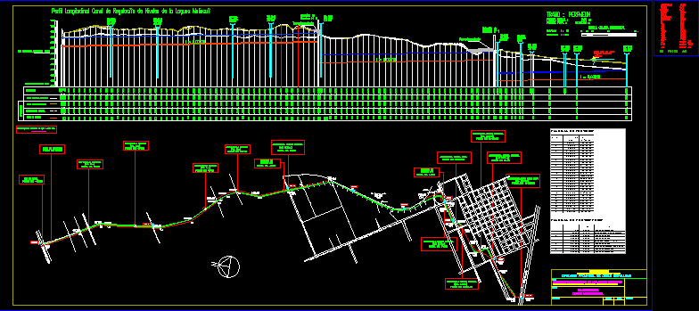
Regulation of levels of Melincue Laguna, Santa Fe Province
Drawing labels, details, and other text information extracted from the CAD file (Translated from Spanish):
canal san urban, road to the cemetery, cem., alcantarilla f.f.c.c. n.c.a., culvert communal road, discharge work, inner culvert, perfmelin, progr. final:, progr. initial:, section: horizontal scale, cyan, green, red, magenta, white, blue, elevation, longitudinal profile channel of regulation of the lagoon melincué, progressive, existing canal axis dimensions, left margin, dimensions right margin, reach, station, terraplenamiento, ffcc, water hair height, lagoon melincué, station, project, channel axis, district melincue – dto. general lopez – santa fe, provincial directorate of hydraulic works, ministry of public services works and housing, regulation of melincue lagoon levels, planimetry, longitudinal profile, project:, work:, plane:, scale, province of santa fe, plane No.: date
Raw text data extracted from CAD file:
| Language | Spanish |
| Drawing Type | Block |
| Category | Handbooks & Manuals |
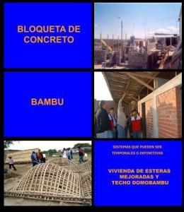
| Additional Screenshots | |
| File Type | dwg |
| Materials | Other |
| Measurement Units | Metric |
| Footprint Area | |
| Building Features | |
| Tags | argentina, autocad, block, DWG, fe, laguna, lake, levels, longitudinal, profile, province, regulation, santa, water |
Related Products


Same Contributor
Featured Products


