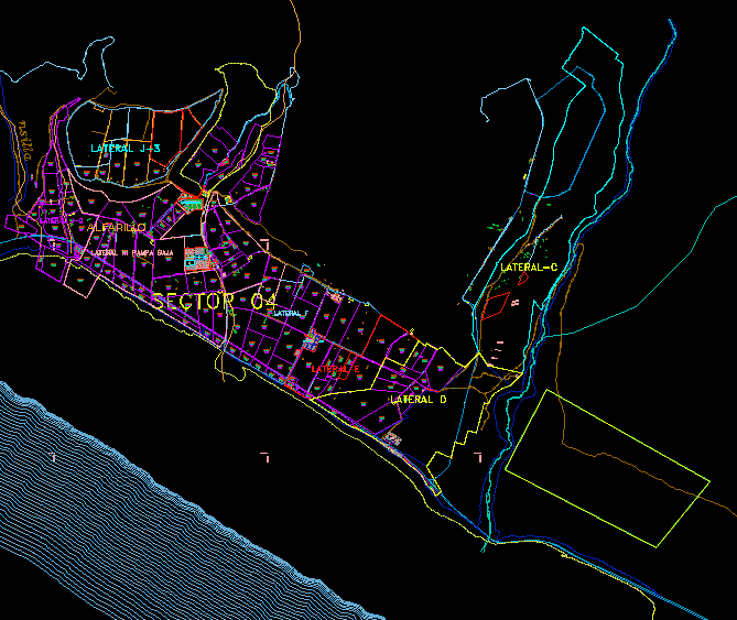
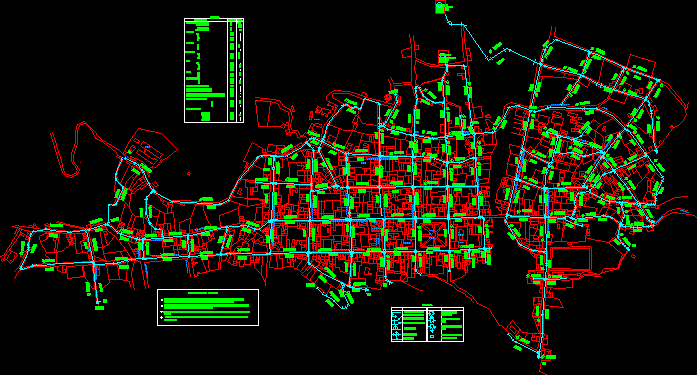
Low Pampa Ite DWG Block for AutoCAD

Urban Development Plan.
Drawing labels, details, and other text information extracted from the CAD file (Translated from Spanish):
Street, avenue, Street, Street, Street, sector, nsilla, c º el morrillo, alphabet, t.s.c., square, sports area, communal services, green area, green area, t.s.c., human settlement, square, sports area, education, green area, services, communal, services, communal, Park, t.s.c., san isidro human settlement, communal services, square, t.s.c., communal, location of uses, Health, education, educational institution, olga grohmann, multiple, t.s.c., pampa low human settlement, side, lateral hi pampa low, side, collection center, museum site, police station, dairy plant, main square, cradle, sports tile alfarillo, empty, mothers club, green area, communal, playful games, square, communal place, services, green area, empty, communal, library, services, green area, empty, health post, i.e.initial, dinning room, services, communal, church, services, sports area, sport slab, communal, municipality, services, empty, green area, multipurpose site, chapel, school
Raw text data extracted from CAD file:
| Language | Spanish |
| Drawing Type | Block |
| Category | City Plans |
| Additional Screenshots |
 |
| File Type | dwg |
| Materials | Other |
| Measurement Units | |
| Footprint Area | |
| Building Features | Garden / Park |
| Tags | autocad, beabsicht, block, borough level, development, DWG, plan, political map, politische landkarte, proposed urban, road design, stadtplanung, straßenplanung, urban, urban design, urban plan, zoning |


