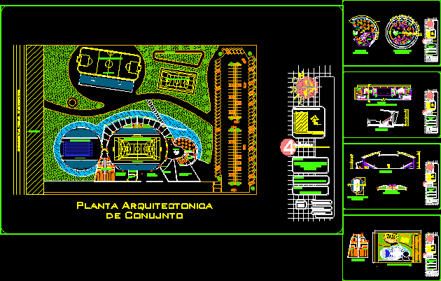
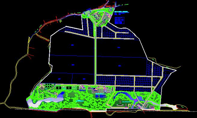
Maleconwaterfront – Topography – Profiles DWG Block for AutoCAD

Ground; subgrade; topography of Malecon
Drawing labels, details, and other text information extracted from the CAD file (Translated from Spanish):
project :, scale :, date :, plate :, responsible student :, chair :, plane :, project l’aller, boardwalk – huanchaco, indicated, private university of the north, faculty of architecture and design, component :, e arq. , arq., av. victor larco herrera, av. Army, circumvallation, av., ca. Antonio Raymondi, ca. ricardo palma, psje. mario v. llosa, av. the rivera, ca. Miguel Grau, av. dean saavedra, ca. manco capac, ca. atahualpa, ca. pilcomayo, ca. colon, ca. the ceresos, ca. freedom, ca. Gladiolus, ca. the ferns, ca. the ficus, ca. the geraniums, ca. the mallows, ca. the hortencias, ca. the dahlias, ca. the camellias, public recreation, other purposes, serv. pub. comp., commerce, church, sports area, commerce area, s.p.c, serv. communal, market, serv.pub.comp., cemetery, area, s.p.c., green area, s.p.c. services, communal, o.fines, other uses, minor zonal park, recreation, equipment, metropolitan, park, breakwater: concrete, low beach, v, ec: m, avenida tres, ca. the sun, psje. chan chan, ca. chimu, ca. the boqueron, ca. the tablazo, av. hill of the virgin, ca. new paradise, psje. naylamp, ca. huanchaco, ca. to. sanchez, ca. ciro alegria, av. circumvallation, ca. tupac amaru, ca. Francisco Bolognesi, ca. Simon Bolivar, ca. independence, ca. union, ca. huascar, olaya passage, ca. victor larco, ca. the gardenias, ca. the oaks, ca. mulberry trees, ca. the willows, ca. the cucardas, ca. the pines, ca. The magnolias, ca. the olive trees, ca. the palm trees, ca. the elms, ca. the begonias, ca. the orchids, av. piura, risk area, education, health services, area, reserved, water and sewer, public, v, ec: b, v, ec: r, breakwater: stone, v, ec: m, psje education, ca. unite, existing recreation, public recreation, existing park, existing trail, trade area, existing, jr. freedom, communal, public services, trade, area, passage olaya, ca. colon, yes, av. the creek, progressive, cutting height, level of ground, level of land, sea line, existing dock, quay sector between ca. manco capac and jr. freedom, topography plane, planimetry – perimeter plane, north, utm coordinates, east, altimetry – longitudinal section a – a, altimetry – cross section b – b, altimetry – cross section c – c, coordinates, gradient
Raw text data extracted from CAD file:
| Language | Spanish |
| Drawing Type | Block |
| Category | Handbooks & Manuals |
| Additional Screenshots |
 |
| File Type | dwg |
| Materials | Concrete, Other |
| Measurement Units | Metric |
| Footprint Area | |
| Building Features | Garden / Park |
| Tags | autocad, block, DWG, flush, ground, huanchaco, malecon, PERU, profiles, progressive, sections, topography, waterfront |


