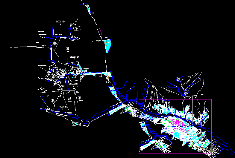
Map Candarave, Tacna, Peru–Topography DWG Block for AutoCAD

This file presents the district level and its topography Candarave
Drawing labels, details, and other text information extracted from the CAD file (Translated from Spanish):
graphic scale, graphic scale, o.u., recreation, municipal, hotel, owned by third parties, farmland, owned by third parties, rio candarave, farmland, owned by third parties, farmland, owned by third parties, farmland, owned by third parties, farmland, owned by third parties, farmland, rio candarave, yucamani, June street, street f.z.carbajal, street andres cusicanqui, street to ugarte, victoria street, progress street, pje zarumilla, july street, tarapaca street, avenue tacna, july street, June street, san miguel street, San Martin, Street, tupac amaru, Street, jose olaya, Street, September street, freedom street, nursery, ugly, i.e., parish house church, i.s.t candarave, cemetery, street sucre, san jose street, santa barbara street, san martin street, calle arica, 2 nd street, Related searches, street the merced, san francisco street, calle alameda, avenue tacna, street triumph, municipal camal, viewpoint sta. Barbara, i.e. fortunato zora c., square bolognesi, mpc candarave, municipal coliseum, mdo. municipal, square sta. pink, p.n. From Peru, square degree, clinic, the Calvary, National bank, fairground, Municipal stadium, Street, passage, Street, july street, street to cusicanqui, passage, Street, tarapaca street, passage, June street, passage, street the merced, Related searches, passage, progress, Street, passage
Raw text data extracted from CAD file:
| Language | Spanish |
| Drawing Type | Block |
| Category | City Plans |
| Additional Screenshots |
 |
| File Type | dwg |
| Materials | |
| Measurement Units | |
| Footprint Area | |
| Building Features | Car Parking Lot |
| Tags | autocad, beabsicht, block, borough level, district, DWG, file, Level, map, political map, politische landkarte, presents, proposed urban, road design, stadtplanung, straßenplanung, Tacna, topography, urban design, urban plan, zoning |


