Map Of Monsefu, Peru DWG Block for AutoCAD
ADVERTISEMENT

ADVERTISEMENT
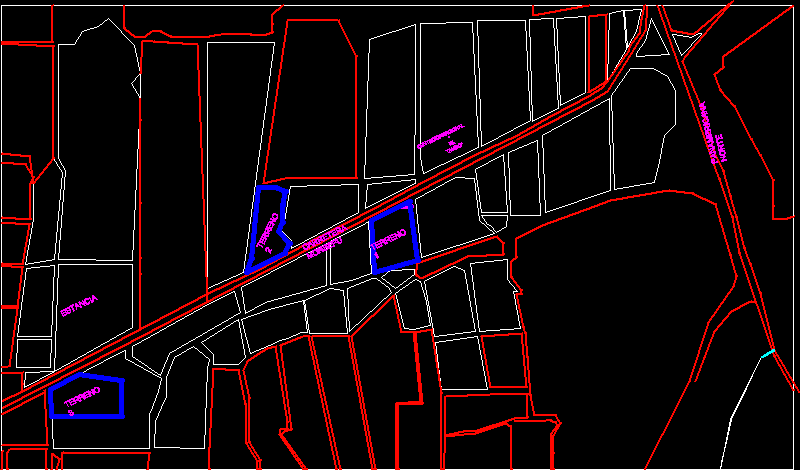
First Km along the road from Monsefu road showing the location of various landmarks such as El Tamboand and La Estancia de Monsefu, plus three lots for possible location of country homes.
Drawing labels, details, and other text information extracted from the CAD file (Translated from Spanish):
monsefu road, center, ground, stay, ground, panamericana norte, recreational
Raw text data extracted from CAD file:
| Language | Spanish |
| Drawing Type | Block |
| Category | City Plans |
| Additional Screenshots |
 |
| File Type | dwg |
| Materials | |
| Measurement Units | |
| Footprint Area | |
| Building Features | Car Parking Lot |
| Tags | autocad, beabsicht, block, borough level, DWG, el, km, location, map, monsefu, PERU, political map, politische landkarte, proposed urban, Road, road design, showing, stadtplanung, straßenplanung, urban design, urban plan, zoning |


