Map Texcoco DWG Block for AutoCAD

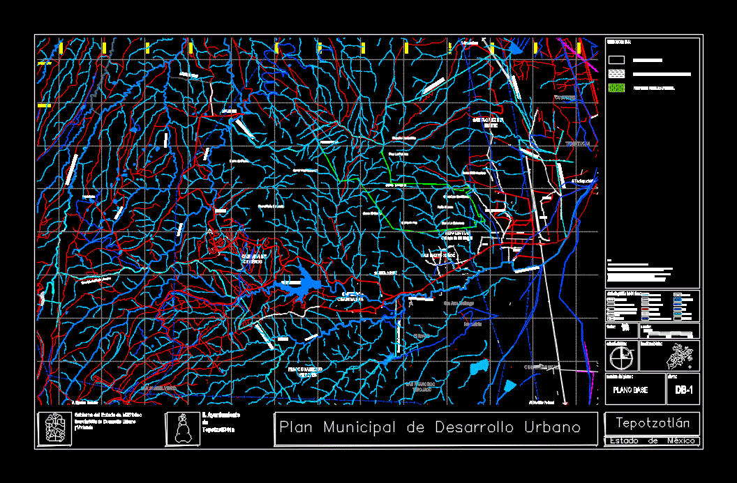
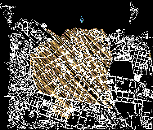
MAP OF TRACE URBAN MORA Texcoco; ESDO. FROM MEXICO
Drawing labels, details, and other text information extracted from the CAD file (Translated from Spanish):
current urban area, scale:, date:, key:, name of the map:, base plane, h. town hall, government of the state of, of urban development, living place, secondary road, of the municipal plan, state, Park, urban trace, regional road, Level curve, channel, body of water, runoff, primary road, sierra state park, gas pipeline, property, federal, the saltpeter, the arches, deep of, lanzarote, deep of, little canal, coyotepec municipality, Municipality of, municipality of nicolas romero, municipality of izcalli, municipality of nicolas romero, township of villa del, municipality of huehuetoca, I want to, to the federal district, state of hidalgo, santa cruz, mountain, Santiago, cuautlalpan, Santa Cruz, san mateo xoloc, division, viceroys, cisterns, prey, arches of the site, pains, lanzarote, coyotepec, I love you, cuautitlan izcalli, good view, San Francisco, Tepojaco, San Francisco, magu, san jose the glass, san jose huilango, the rosary, the Clover, the anime, ricardo flores, texcacoa, tlacateco, San Martin, capulates, Nicolas Romero, tepotzotlan, Municipal head, puerto las cruces, federal property, Notes:, considerations for areas with borderline differences, the present municipal plan of urban development not prejudged territorial limits of the only establishes, those officially recognized by the government of the Mexican organic state Article, in areas with differences may only exercise administrative acts for the territorial order of the, of the development of the centers of those authorities that are recognized, administrative jurisdiction over the territory until the competent authority issues the judgment, corresponding., the present does not generate rights for the territories in question the territorial dispute., June
Raw text data extracted from CAD file:
| Language | Spanish |
| Drawing Type | Block |
| Category | City Plans |
| Additional Screenshots |
 |
| File Type | dwg |
| Materials | Glass |
| Measurement Units | |
| Footprint Area | |
| Building Features | Car Parking Lot, Garden / Park |
| Tags | autocad, beabsicht, block, borough level, DWG, map, mexico, political map, politische landkarte, proposed urban, road design, stadtplanung, straßenplanung, trace, urban, urban design, urban plan, zoning |


