Microcuenca El Cedro (Puente La Zanja) DWG Full Project for AutoCAD
ADVERTISEMENT
ADVERTISEMENT
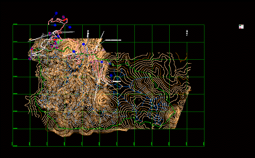
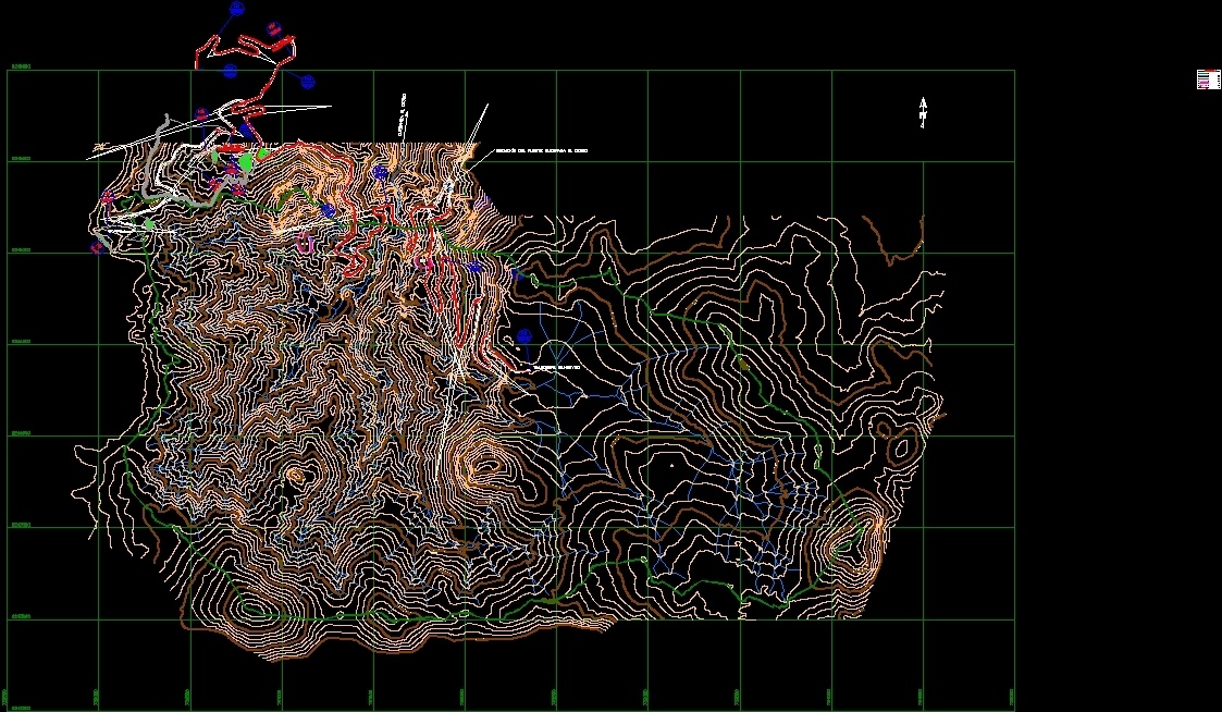
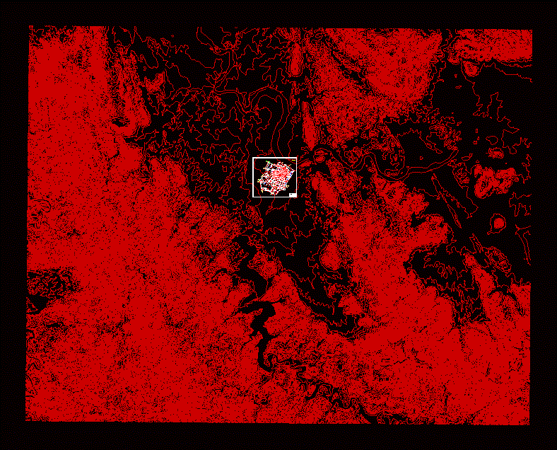
Delineation of the watershed El Cedro; for the construction of the haul road linking the San Pedro Sur Pampa Verde pit mining project in the trench; Province of Santa Cruz; Cajamarca region; Peru.
Drawing labels, details, and other text information extracted from the CAD file (Translated from Spanish):
rev., title, project, number drawing, scale, name, date, designed :, drew :, revised :, approved :, notes, description, indicated, number, dis. by, dib. by, rev. by, Juan Bazán, c. rademeyer, glccp, references, legend, projected routes, major curves, minor curves, archaeological zone, micro-basin boundary, projected bridge, rivers and streams, bancuyoc gate, cedar stream, end of budgeted track, area of influence of the micro-basin, the cedar, issued for internal review, mdr, fap, issued for customer review
Raw text data extracted from CAD file:
| Language | Spanish |
| Drawing Type | Full Project |
| Category | Handbooks & Manuals |
| Additional Screenshots |
 |
| File Type | dwg |
| Materials | Other |
| Measurement Units | Metric |
| Footprint Area | |
| Building Features | |
| Tags | autocad, basin, cajamarca, construction, DWG, el, full, hydrology, la, pedro, PERU, Project, Road, san |
Related Products


Same Contributor
Featured Products