Mining–Surface Projection Of Excavations DWG Full Project for AutoCAD

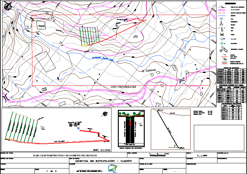
Projection surface underground workings
Drawing labels, details, and other text information extracted from the CAD file (Translated from Spanish):
Broken, town, old, the tobacconist, electric plant., batteries, house, muliple court, kiosk, booth, offices, boca el cerrejon, bocamina the llanito., crossed, protective machon, advance level sw, surface, signaling, winch , level sw, bocamina the llanito, conventions, igac plates, scale :, department :, municipality :, observations :, graphic scale, path :, typed :, elaborated :, type of title :, plane :, ing. of mines. luis alejandro ruiz p, exploitation license – coal, name of the map :, title number :, owner :, date :, infrastructure plan and projected mouthwash, name of the mine :, construction, topographic level curve, ravine, location :, bridle path, path, unpaved road, fence, mine, bridge, active mine, inactive mine, schools, lake, infrastructure and assemblies., dip, inclined, mining title, figure. outline of the windshield, windshield, east, north, elevation, points on the surface, projected windshield, from, to, direction, internal inclination, marked windshield below ground, inclined-nivl sw, measured distance:, projected distance:, total distance: , dist a, features windshield, surface
Raw text data extracted from CAD file:
| Language | Spanish |
| Drawing Type | Full Project |
| Category | Handbooks & Manuals |
| Additional Screenshots |
 |
| File Type | dwg |
| Materials | Other |
| Measurement Units | Metric |
| Footprint Area | |
| Building Features | |
| Tags | autocad, DWG, full, mining, Project, projection, surface, topography, underground |


