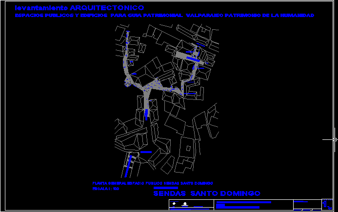
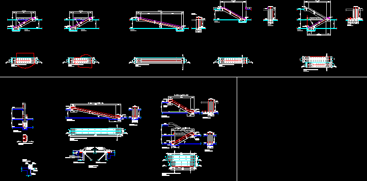
Pathway In Hill Santo Domingo – Valparaiso – Chile DWG Block for AutoCAD

Urban public land of different footways in
patrimonial sector of Valparaiso – Chile
Drawing labels, details, and other text information extracted from the CAD file (Translated from Spanish):
housing access, railing, railing, rainwater channel, railing, railing, node jotabeche, viewpoint jotabeche, transparent closure, railing, transparent closure, railing, step footpath, railing, living place, closure, contemplation, jotabeche, railing, railing, tree protector, according detail, straight adoquin, Santo Domingo, stretch santo domingo, step footpath barbagelata, pueyrredon, stretch santo domingo, Santo Domingo, stretch santo domingo, fishbone design, straight adoquin, fishbone design, n., retaining wall, railing, railing, public spaces buildings for patrimonial guide valparaiso patrimony of the humanity, architectural rise, planimetry delivered by served fifth region., December, history of the uprising, scale blade, junta andalucia. Spain, From Chile, minvu, served region, engineering office jadic ingeneria topographic project improvement traffic management plan August, of Valparaiso as Heritage of November, housing, saint santo’s trails, building name, architectural, plant, location, scale, general floor public space sendas santo domingo, small square, santo domingo street, pueyrredon, jotabeche
Raw text data extracted from CAD file:
| Language | Spanish |
| Drawing Type | Block |
| Category | City Plans |
| Additional Screenshots |
 |
| File Type | dwg |
| Materials | |
| Measurement Units | |
| Footprint Area | |
| Building Features | |
| Tags | autocad, beabsicht, block, borough level, chile, domingo, DWG, hill, land, patrimonial, political map, politische landkarte, proposed urban, PUBLIC, road design, santo, sector, stadtplanung, straßenplanung, urban, urban design, urban plan, valparaiso, zoning |


