Perimeter DWG Block for AutoCAD

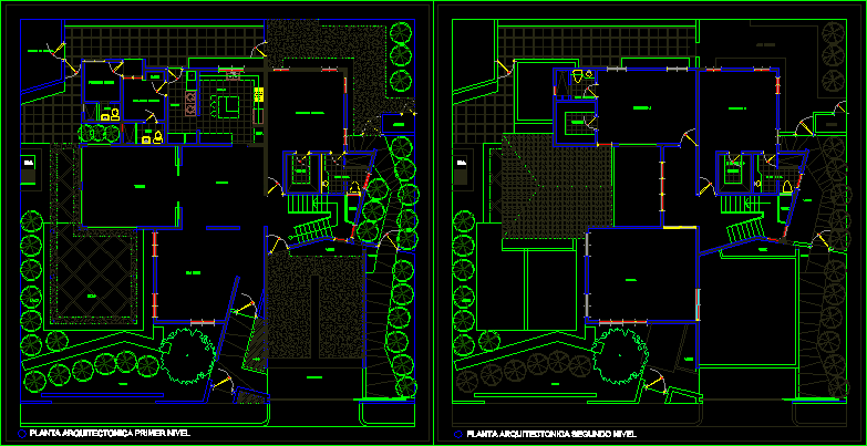
ON A MAP INDICATING THE SCOPE OF AGRICULTURAL LAND THAT TIME IS ALSO SUB – SPLIT
Drawing labels, details, and other text information extracted from the CAD file (Translated from Spanish):
canal, est, lim, well, trail, pole, perimeter, div, perimeter, fence, est, location of the property, perimeter plane, location plane, area :, plane :, datum :, location :, province, department, district , sheet :,: the jewel,: arequipa, owner :, indicated, esc., date., perimeter and location, sector,: :::::::::::::, perimeter :, total area: , jac, cad :, :::::::::::, legend, built area, description, symbol, w – a, v – w, u – v, t – u, s – t, r – s, q – r, p – q, o – p, n – o, m – n, ll – m, l – ll, k – l, j – k, i – j, h – i, g – h, f – g, e – f, d – e, c – d, b – c, a – b, coordinate box utm of the property, vertex, side, distance, subdivision and location, indicated, c – ll, m – c
Raw text data extracted from CAD file:
| Language | Spanish |
| Drawing Type | Block |
| Category | Handbooks & Manuals |
| Additional Screenshots |
 |
| File Type | dwg |
| Materials | Other |
| Measurement Units | Metric |
| Footprint Area | |
| Building Features | |
| Tags | agricultural, autocad, block, DWG, indicating, land, map, perimeter, split, Time |
Related Products


Same Contributor


Featured Products


