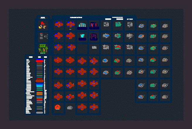
Peruvian Charter – Arequipa 3D DWG Model for AutoCAD

Peruvian National Letter – 33 curves in 3d
Drawing labels, details, and other text information extracted from the CAD file:
glosario, glossary, ign ref no., ed. no., nsn, boundaries, statute miles, nautical miles, kilometers, millas terrestres, elevaciones en metros, notes, notas, adjoining sheets, hojas adyacentes, elevations in meters, caution: not all telephone and electric service, lines are shown., rutas troncales., in built-up areas only through routes are classified., the width of a lane on this map is considered, grid zone designation, legend, railroads, international, roads, loose surface, single, normal gauge, area name, multiple, poblaciones, caminos, zonas edificadas de alta densidad, zonas edificadas de densidad, esparcida a moderada, bueno o seco, internacional, aeronautical data, drainage, perennial, intermittent, streams:, ditches:, perenne, intermitente, drenaje, pista de aterrizaje:, vegetation, populated places, densely built-up areas, sparsely to moderately, built-up areas, divided highway, two or more lanes wide, one lane wide, all weather, loose surface:, fair or dry weather,, narrow gauge, miscellaneous cultural features, miscellaneous relief, leyenda, all weather, hard surface:, autopista con separador, route marker:, powerline, obstructions:, obstrucciones:, airfield runway:, less height than contour interval, greater height than contour interval, escarpment:, escarpado:, depression, first-order administrative division, landmark feature, horizontal control point, bench mark, punto cota fija, pcf, orchard, huerta, arboles esparcidos, scattered trees, rice, swamp, pantano, none, sand, arena, woodland, bosque, el tambo, highest, high, medium, low, bajo, medio, alto, elevation guide, land subject to inundation, this map is red-light readable, este mapa es legible bajo luz roja, edition, cuando se hace referencia a un punto al otro lado de una, metros, dentro de la cual se encuentra el punto., identification in which the point lies., when reporting outside the grid zone, designation area, prefix the grid zone, acequias:, designation., sample point, ejemplo de, un punto, projection. . . . . . . . . . . . . . . . . . . . . . . . . . . . . . . . . . . . . . transverse mercator, vertical datum . . . . . . . . . . . . . . . . . . . . . . . . . . . . . . . . . . . . . . mean sea level, datum vertical . . . . . . . . . . . . . . . . . . . . . . . . . . . . . . . . . . . . . . nivel medio del mar, prepared and published by the instituto geografico nacional, methods from aerial photography taken in, populated areas classified by political status., arequipa,, sheet, series, serie, hoja, ecuador, colombia, chile, b r a s i l, reproduction prohibited in total or partial, users should refer corrections, additions, and comments for improving this product, se solicita a los usuarios que encuentren errores u omisiones en este mapa, marcar las correcciones en el, arequipa, checked., de campo., plain, none, lagoon, spring, archaeological zone, underground pipeline, reservoir, reservorio . . . . . . . . . . . . . . . . . . . . . . . . . . . . . . . . . . . ., stream, pampa . . . . . . . . . . . . . . . . . . . . . . . . . . . . . . . . . . . . . . . . . ., no hay . . . . . . . . . . . . . . . . . . . . . . . . . . . . . . . . . . . . . . . . ., snow capped mountain, nevado . . . . . . . . . . . . . . . . . . . . . . . . . ., bluff, morro . . . . . . . . . . . . . . . . . . . . . . . . . . . . . . . . . . . . . . . . . . ., irrigation, cave, cross, hill, cruz . . . . . . . . . . . . . . . . . . . . . . . . . . . . . . . . . . . . . . . . . . ., aqueduct, aproximate alignment, antenna, warm water, acueducto . . . . . . . . . . . . . . . . . . . . . . . . . . . . . . . . . . ., aguada . . . . . . . . . . . . . . . . . . . . . . . . . . . . . . . . . . . . . . . ., alineamiento aproximado . . . . . . . . . . . . ., antena . . . . . . . . . . . . . . . . . . . . . . . . . . . . . . . . . . . . . . ., compilation diagram, diagrama de compilacion, a: compiled by stereophotogrammetric methods., metros, pies, conversion graph, meters, feet, uas, tor, chili, yura, sih, cultuvated land, campos cultivados, arrozal, panamerican highway, carretera panamericana . . . . . . . . . . . . . ., superficie ligera, transitable en tiempo, para convertir un, grid convergence, for center of sheet, para el centro de la hoja, g-m angle, to convert a, magnetic azimuth, to a grid azimuth, subtract g-m angle, grid azimuth to a, add g-m angle, channel, canal . . . . . . . . . . . . . . . . . . . . . . . . . . . . . . . . . . . . . . . ., cueva . . . . . . . . . . . . . . . . . . . . . . . . . . . . . . . . . . . . . . . . . . ., taya, capilla, esquera, vizcacha, palca, malpaso, lisera, tojroyoc, salviayoc, arayquipa, tancaya, malata, san basilio, huancanayoc, santa ce
Raw text data extracted from CAD file:
| Language | English |
| Drawing Type | Model |
| Category | Handbooks & Manuals |
| Additional Screenshots | |
| File Type | dwg |
| Materials | Masonry, Wood, Other |
| Measurement Units | Imperial |
| Footprint Area | |
| Building Features | |
| Tags | arequipa, autocad, charter, curves, DWG, letter, model, national, peruvian, topography |


