Quiguir District And Provence Santiago De Chuco DWG Plan for AutoCAD

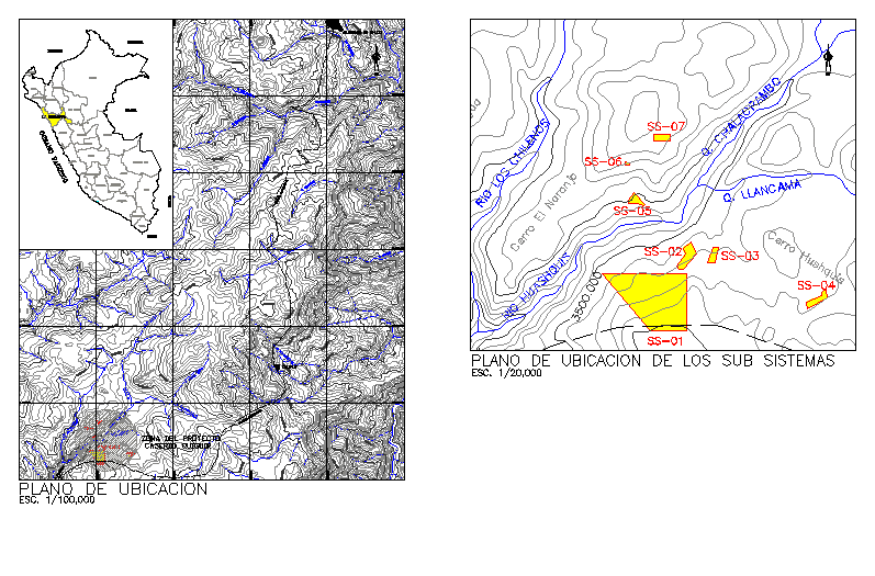
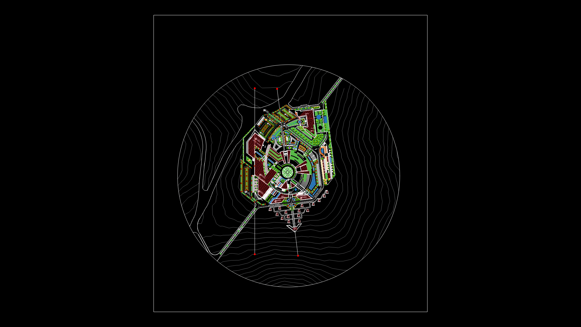
PLAN OF TOWN CENTER OF QUIGUIR DISTRICT PROVENCE SANTIAGO DE CHUCO
Drawing labels, details, and other text information extracted from the CAD file (Translated from Spanish):
n.m., rio huashquis, rio los chilenos, q. chalacpambo, q. llancama, q. calipuy, q. whimper, q. pacchabamba, q. earth bridge, q. squirt, q. paibal, q. huanaco, santiago de chuco, calipuy, Brazil, Mother of God, Colombia, moquegua, arequipa, piura, lambayeque, Pacific Ocean, you lie, huanuco, ancash, lime, Amazon, Ecuador, cajamarca, freedom, San Martin, ucayali, I love you, huancavelica, ica, pasco, junin, I like, apurimac, loreto, bolivia, Chile, tacna, fist, rio patarata, rio huaran, q. suyarida, q. huaychaca, q. colloche, q. caypanda, r. Coptic, project area, caserio: quiguir, i close the orange tree, Chalacpamba Hill, hill coyayda, hill hushquis, huaraday, carousel, sub-system location plan, location map, esc.
Raw text data extracted from CAD file:
| Language | Spanish |
| Drawing Type | Plan |
| Category | City Plans |
| Additional Screenshots |
 |
| File Type | dwg |
| Materials | Other |
| Measurement Units | |
| Footprint Area | |
| Building Features | Car Parking Lot |
| Tags | autocad, beabsicht, borough level, center, de, district, DWG, plan, political map, politische landkarte, proposed urban, road design, santiago, stadtplanung, straßenplanung, town, urban design, urban plan, zoning |


