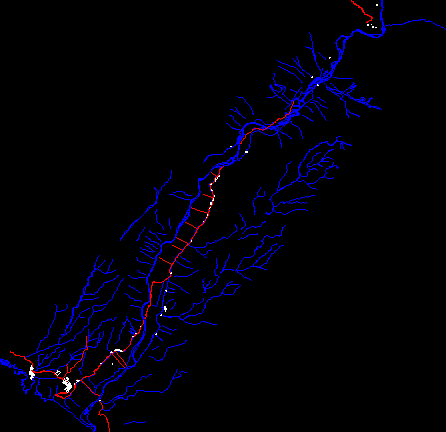
Rural Property Entitlement Formalization Project – – Quilca, Arequipa, Peru DWG Full Project for AutoCAD
ADVERTISEMENT

ADVERTISEMENT
Cadastral base, elevation of river and important buildings in the sector of Quilca. mapped with coordinates utm – – universal transversal mercator. results of peru’s combined special project of entitling rural lands and property records and the agency for formalization of informal ownership – – cofopri – pett. pett cofopri.
| Language | N/A |
| Drawing Type | Full Project |
| Category | City Plans |
| Additional Screenshots | Missing Attachment |
| File Type | dwg |
| Materials | |
| Measurement Units | |
| Footprint Area | |
| Building Features | |
| Tags | arequipa, autocad, base, beabsicht, borough level, buildings, cadastral, coordinates, DWG, elevation, full, important, map, PERU, political map, politische landkarte, Project, property, proposed urban, river, road design, rural, sector, stadtplanung, straßenplanung, urban design, urban plan, zoning |


