Subdivision Map DWG Detail for AutoCAD
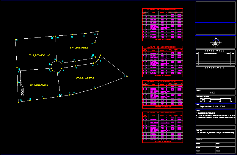
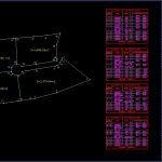
Dimensions, parcels, streets and blocks, details.
Drawing labels, details, and other text information extracted from the CAD file (Translated from Igbo):
standard, i n g. e s e s e s e s e s e s e s, e e s e s e e s e s, e e s e s, e e g e e, e e g e e, joaquin valdez v., mpio. apodaca, n. l, del fraccionamiento cosmopolis, plano mostrando perfiles of las calles, aprobo:, levanto:, calculo:, ubicacion:, plano of:, archivo :, reviso :, dibujo:, fecha:, nota:, grafica escala in metros, climbing:, simbologia, revisiones, observaciones, no., reviso, fecha, american activation., trabajos periciales, topografia in general., evaluations minerals, mineria a tajo abierto, topografia, asesoria minera, ing. marcos valdez v., ing. peanut perez, hernan yepes cruz, building building, lado, c o o r d e n a a s, distancia, rumbo, is, centro de curva, plano mostrando terrenos
Raw text data extracted from CAD file:
| Language | Other |
| Drawing Type | Detail |
| Category | Handbooks & Manuals |
| Additional Screenshots |
 |
| File Type | dwg |
| Materials | Other |
| Measurement Units | Metric |
| Footprint Area | |
| Building Features | |
| Tags | autocad, blocks, DETAIL, details, dimensions, DWG, map, parcels, streets, subdivision |


