Territorial Analysis Chuquitanta DWG Block for AutoCAD
ADVERTISEMENT

ADVERTISEMENT
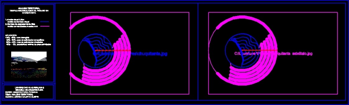
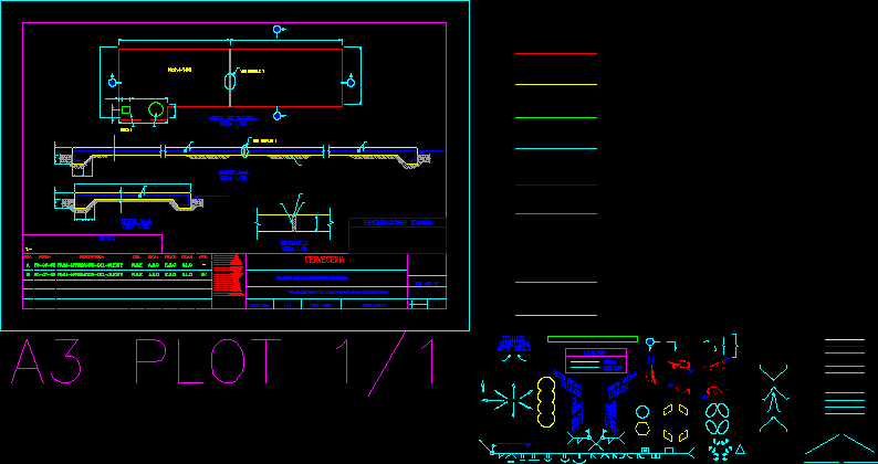
ANALYSIS TEERITORIAL Chuquitanta; archaeological site located in Lima; Peru in AutoCAD; and analysis of its radius of action archaeological; and reserves; placing limits reaction points of activities.
Drawing labels, details, and other text information extracted from the CAD file (Translated from Spanish):
territorial analysis archeological temple the paradise in visual chuquitanta field of visual domain of demarcation area of annual activities aaa application intangible zone zone of compatible activities zone of related activities minimum probability of other activities, university alas peruanas school of architecture course: peruvian architecture subject: territorial analysis alumna: lechka valdivia quispe
Raw text data extracted from CAD file:
| Language | Spanish |
| Drawing Type | Block |
| Category | City Plans |
| Additional Screenshots |
 |
| File Type | dwg |
| Materials | Other |
| Measurement Units | |
| Footprint Area | |
| Building Features | |
| Tags | analysis, archaeological, autocad, beabsicht, block, borough level, DWG, lima, located, PERU, political map, politische landkarte, proposed urban, road design, site, stadtplanung, straßenplanung, territorial, urban design, urban plan, zoning |
Related Products

Same Contributor

Featured Products


