Topographic Map DWG Block for AutoCAD

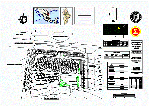
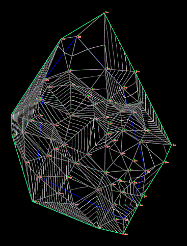
Topographic map of a field (contours)
Drawing labels, details, and other text information extracted from the CAD file (Translated from Spanish):
cabinet box, p.v., internal angles, heading, azimuth, x-coordinates, y-coordinates, area per block, no. of apple, no. of lots, total area, general table of areas, total area of polygon, area outside of approval, net area to develop, road area, urbanizable area, area salable housing, salable commercial area, number of housing lots, number of commercial lots , municipal area, green area, autonomous university of new lion, faculty of architecture, title: topographic map, advisor: ing. evelia flores, box of areas, land uses, area of lots, cession, municipal area required, housing, orange, roses, lilies, jasmine, rosemary, laurel, gardenia, rockrose, citrus, celindas, graphic scale, lot type, veritatis , alere flammam
Raw text data extracted from CAD file:
| Language | Spanish |
| Drawing Type | Block |
| Category | Handbooks & Manuals |
| Additional Screenshots | |
| File Type | dwg |
| Materials | Other |
| Measurement Units | Metric |
| Footprint Area | |
| Building Features | Garden / Park |
| Tags | autocad, block, contours, DWG, field, map, topographic, topography |


