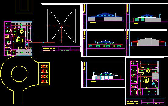
Topography QueuÑA – Paucartambo – Cusco DWG Block for AutoCAD

topographic map of a large sector Queuña District; Paucartambo Province, Cusco – Peru
Drawing labels, details, and other text information extracted from the CAD file (Translated from Spanish):
n.m., Plant: scale, Longitudinal profile: vertical scale, rivers, houses, axis of way, pi de via, baden, bridge, north, n.m., pontoon, sewer, mileage, existing roads, level curves, legend, datum elev, cut, polygon elements, vertex, side, length, course, north, East, decal, paucartambo, quispicanchi, urubamba, anta, cusco, paruro, acomayo, canchis, chumbivilcas, white hair, thorn, Convention, ocobamba, Saint Ana, maura, vilcabamba, huayopata, Santa Teresa, quellouno, echarati, decal, paucartambo, quispicanchi, urubamba, anta, cusco, paruro, acomayo, canchis, chumbivilcas, white hair, thorn, lime, cusco, location location, area: perimeter:, of topographical location of topographical location, topograficotopografico, area: perimeter:, of cuts cuts, esc
Raw text data extracted from CAD file:
| Language | Spanish |
| Drawing Type | Block |
| Category | Misc Plans & Projects |
| Additional Screenshots |
  |
| File Type | dwg |
| Materials | |
| Measurement Units | |
| Footprint Area | |
| Building Features | |
| Tags | assorted, autocad, block, cusco, district, DWG, large, map, PERU, province, sector, topographic, topography |


