Valle128 – Lurinagosto2011 DWG Block for AutoCAD

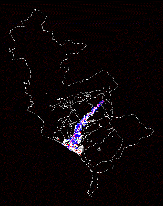
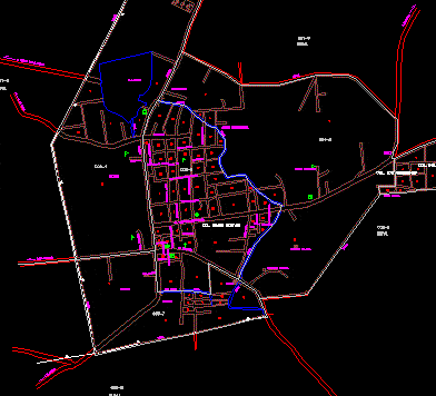
PLANO DEL VALLE DE LURIN PETT – COFOPRI
Drawing labels, details, and other text information extracted from the CAD file (Translated from Spanish):
z.l., av. malecon lurin, old huarochiri road, factory, phone from Peru s.a., estate agency almonte, av. the cedars, good high view, av. sisa jet, av. fernando reusche, av. santa anita, santa anita, high corner of puruhuay, sector, av. the palms, av. poplars, pachacamac, old panamericana, old panamericana south, av. real, old panamericana, old panamericana south, av. martyr olaya, av. the eucalyptus, av. the praderas, av. industrial, av. White House, av. the palms, av. san pedro, av. the pines, av. the eucalyptus, av. malecon lurin, av. new toledo, archaeological zone, zone, archaeological, archaeological zone, hill pan of az car, av. four mouths, av. virgin of carmen, av. victor malasquez, a, av. White House, av. victor malasquez, concrete, per s.a., fence, low plateau, Street, real street four mouths, jir bolivar, street box white, siege, road tinajas, municipal cemetery, road pachacamac cieneguilla, populated center, freedom, hill pavon, south pan american highway, Hill, small hill, hill of god, Hill, Cerro Culebra, clara luisa, Cerro Culebra, street los sauces, Commerce, national institute of culture, refinery conchan, populated center, mammoth club, crusher limatambo, sea countryside, cemetery under construction, Mall, urb. the carnations, street flamingos, calle los fresnos, street the casuarinas, Street, Hill, curve shoe, rinconada street, chillaco street, mine street lost, laurel street, casica, street los ceibos, street the carnations, street the geranios, top, huaycan road, siege, camping, liaro road huarochiri, huarochiri road, Hill, hill picapiedra, Hill, jr prolongation Castile, alley huaca, huarangal road, street matamoros, road puruhuay, Cerro Culebra, I walk the hills of lucmo, alley huaca, lechucero alley, street las palijas, sentinel hill, Street, parca street, pachacamac road, road manuel malasquez, deposit, Deposit, eriazo, the eucalyptus, eriazo, san fernando, the ash trees, factory, san fernando background, pampa of flowers monticulo, farm, orchards santa genoveva, huaca, orchards of lurin, orchards, from villena, liaro road huarochiri, huaca, also inga, the palms, the walnuts, new lurin, the olive trees, the roses, Wall, santa rosa mal paso, mammoth, Wall, walls, bridge, gas plant, South Pan American, san pedro, pampas, bridge, Park, bridge, Park, Saint Rose, ruins, san vicente, tower ctrica, store, workshop, tunnel, offshore, tower ctrica, tower ctrica, tower ctrica, tower ctrica, urban zone, living place, viv, living place, households, living place, households, living place, households, living place, households, living place, households, living place, households, living place, households, living place, households, living place, households, living place, households, living place, households, living place, households, viv, households, viv., living place, viv., living place, households, viv., living place, viv., households, viv., living place, viv., living place, Sumac pacha agricultural association, arica bridge, lurin beach club, centromin turkey housing cooperative, c early primary amazon, indura gas plant s.a., urban zone, crafts workshop, manufactures freisland peru s.a., plastic cardboard factory, carbonate mill under construction, market of supplies, virgin of the mercedes, urban zone, Municipal stadium, from lurin, home
Raw text data extracted from CAD file:
| Language | Spanish |
| Drawing Type | Block |
| Category | City Plans |
| Additional Screenshots |
 |
| File Type | dwg |
| Materials | Concrete, Plastic |
| Measurement Units | |
| Footprint Area | |
| Building Features | Car Parking Lot, Garden / Park |
| Tags | autocad, beabsicht, block, borough level, cofopri, de, del, DWG, maps, PERU, plano, political map, politische landkarte, proposed urban, road design, stadtplanung, straßenplanung, urban design, urban plan, valle, zoning |


