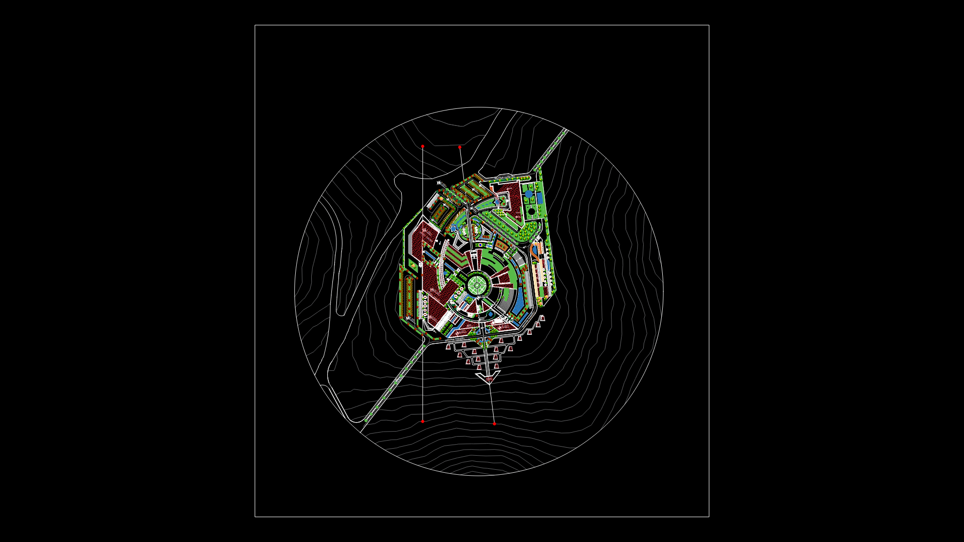
Zacapa City – Plane DWG Block for AutoCAD

Development plane of Zacapa city – Guatemala
Drawing labels, details, and other text information extracted from the CAD file (Translated from Spanish):
north, south, market location sketch, Progress, zacapa, izabal lake, polochic, motagua, moran, tabacal, Santiago, the pools, the carts, the wolf, santa, pink, zapotal, the lagoon, capucalito, morola, conception, little robe, san antonio, chantiago, the top, Valley, straw grass, san josé las, tears, planks, piñuelas, the pimabetal, plank, from sulay, the reed, pericone, stone, stop, the mountain, the meetings, reedbed, San Miguel, sheet, flowers, the hernandez, deserted, to near, gossip, ravine, above, the portex, sieve, beautiful view, avocado, file, guinean plan, the cactus, the wells, the mezcal, chili, Ceiba, the sunzo, the uri, the cypress, stones, black, solis, saint Louis, vega del cobán, San Felipe, the old, ravine, Colorado, the pinalito, the palmar, Saint Paul, San Ignacio, tantrum, big hill, oratory, the volcano, dear, albayeros, summit, talquezal, taxart, the jump, canyons, Earth, white, scale, chiquimula, stall, deep River, usumatlan, teculutan, gualan, the Union, huite, San Diego, cabins, localization map, source omp zacapa., zacapa, stall, deep River, they rule, usumatlan, gualan, the Union, huite, cabins, San Diego, municipalities of the department, gualan, the Union, chiquimula, huite, stall, deep River, zacapa municipality, gualan, the Union, chiquimula, huite, stall, deep River, going by rail: Guatemala., entrance zacapa: ca asphalted road., integration hamlet forge, Rio Grande, colony santa eulalia, Culb of Officers, colony banvi, sports Complex, Castilla la Mancha, puerto barrios guatemala ca, railroad area, neighborhood el chaparro, neighborhood the station, going ferrea line: puerto barrios., neighborhood flowers, neighborhood brick, new cemetery neighborhood, laguna neighborhood, military area, neighborhood the board, cemetery, neighborhood san marcos, experimental, neighborhood reform, neighborhood the loneliness, san sebastian neighborhood, neighborhood the tamarindal, barrio el presidio, neighborhood el calvario, parish neighborhood, Zoo, Regional hospital, goes to turpentine village., institute hall, neighborhood cruz de mayo, goes mazanotes village., creek, Rio Grande, Saint Joseph, residential juan pablo ii, colonia juan pablo, municipal colony, residential juan pablo ii, colonia juan pablo, zone, Central Park, municipality, public, ministry, market, municipal, stadium, terminal of, buses, zacapa, their communities, zacapa city
Raw text data extracted from CAD file:
| Language | Spanish |
| Drawing Type | Block |
| Category | City Plans |
| Additional Screenshots |
 |
| File Type | dwg |
| Materials | |
| Measurement Units | |
| Footprint Area | |
| Building Features | Pool, Car Parking Lot, Garden / Park |
| Tags | autocad, beabsicht, block, borough level, city, development, DWG, guatemala, plane, political map, politische landkarte, proposed urban, road design, stadtplanung, straßenplanung, urban design, urban plan, zoning |


