New Municipal Boundaries Caratulan – The Liberty DWG Block for AutoCAD

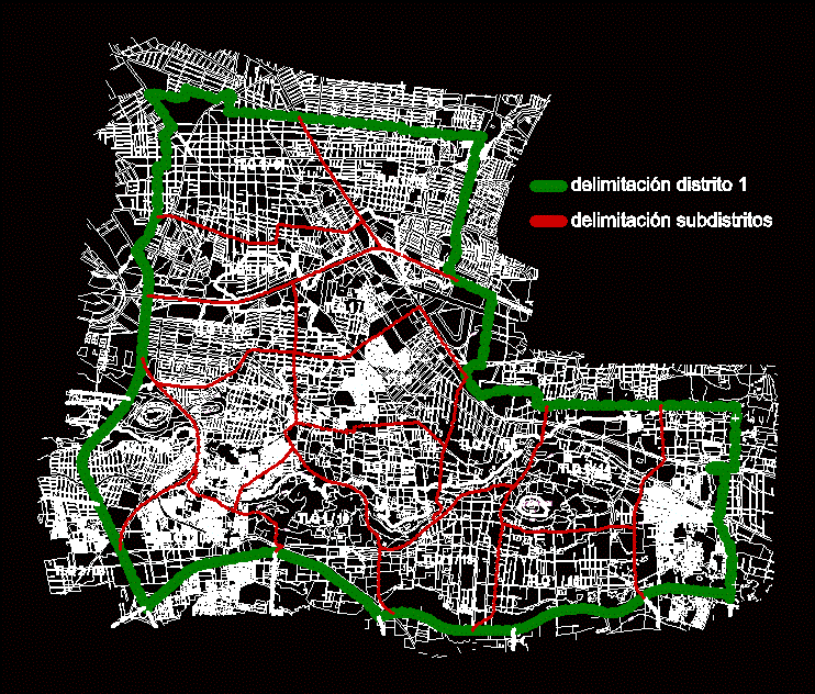
cadastral municipal boundaries by Management 2012 – 2015 in New Resume.
Drawing labels, details, and other text information extracted from the CAD file (Translated from Spanish):
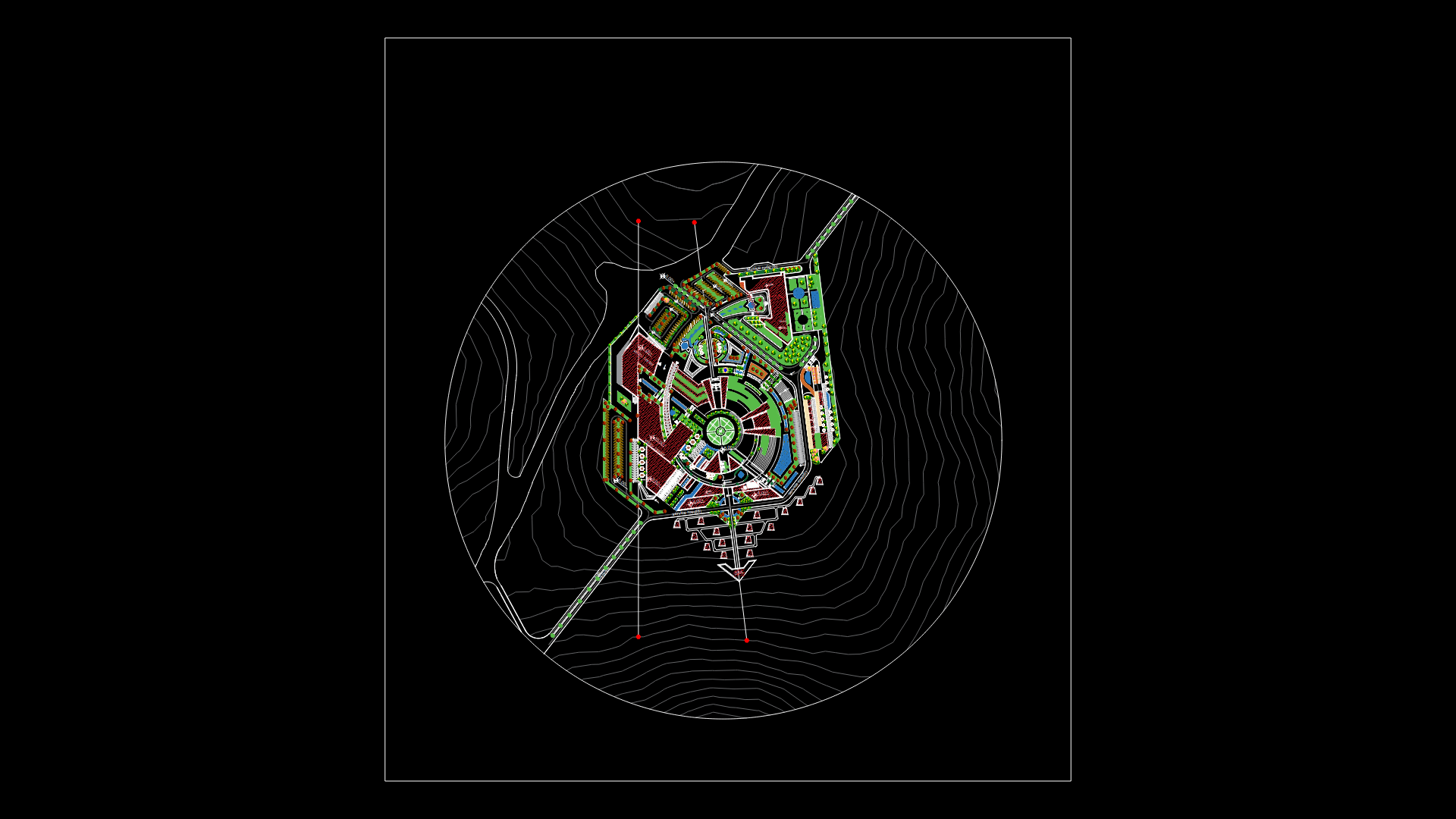
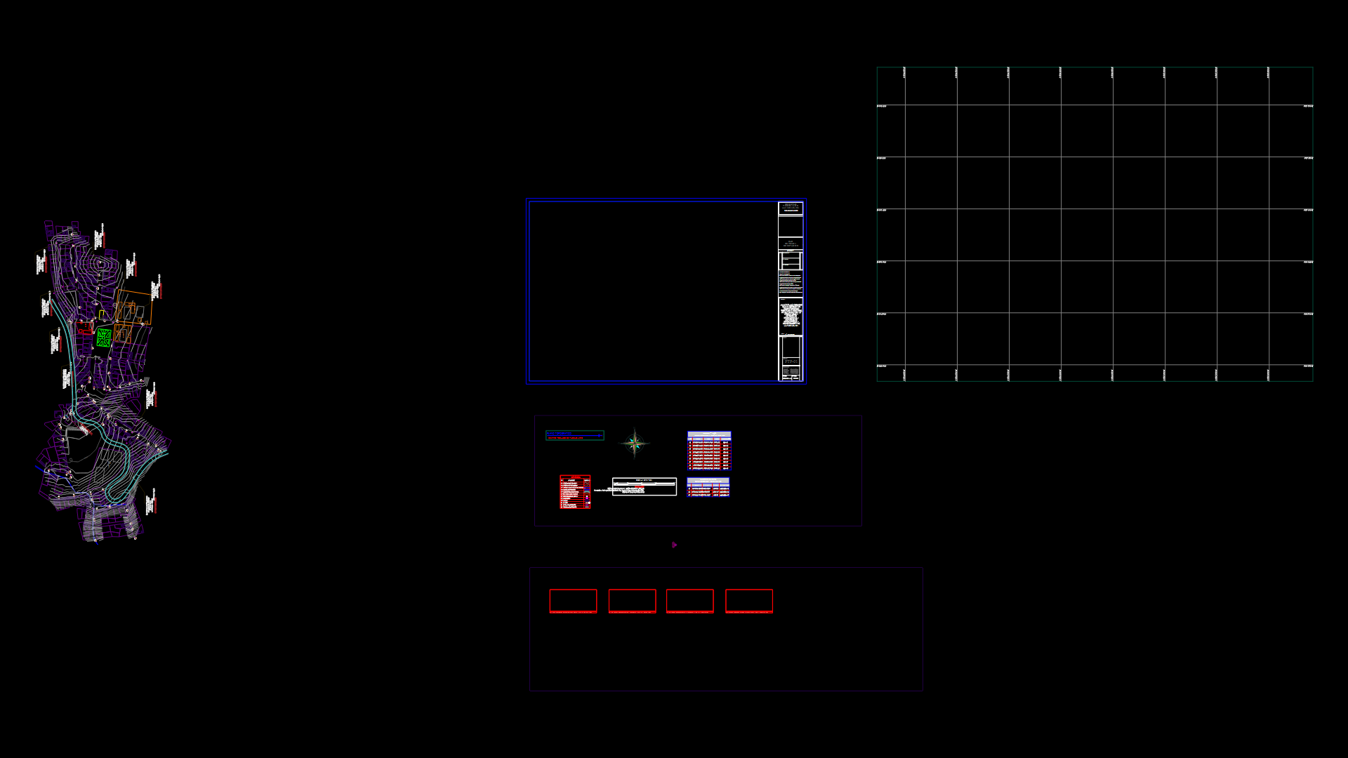
limit proposed by alcalus cuscatlan new., limit proposed by cnr, limit according to record, new cuscatlan, old cuscatlan, holy key, huizucar, Saint Joseph, villanueva, trifinium, broken san antonio, River, Street, street santiago morales, main Street, ibis passage, avenue don bosco, diagonal street nº, payermo passage, Street, Mariano Avenue Palm, passage the firs, avenue daniel gentleman, avenue agustin moran, Street, isfaffle, cooperative association of the coffee agrarian reform, street florence, Street, rio san antonio street, cooperative florence finca santa elena los angeles, broken talpetatera, san jose villanueva street, huizucar street, new cuscatlan street, street florence, Street, swiss farm, non-urban area east, stage of future development process, location: caserio san antonio
Raw text data extracted from CAD file:
| Language | Spanish |
| Drawing Type | Block |
| Category | City Plans |
| Additional Screenshots |
 |
| File Type | dwg |
| Materials | |
| Measurement Units | |
| Footprint Area | |
| Building Features | Car Parking Lot |
| Tags | autocad, beabsicht, block, borough level, cadastral, DWG, liberty, management, municipal, political map, politische landkarte, proposed urban, road design, stadtplanung, straßenplanung, urban design, urban plan, zoning |


