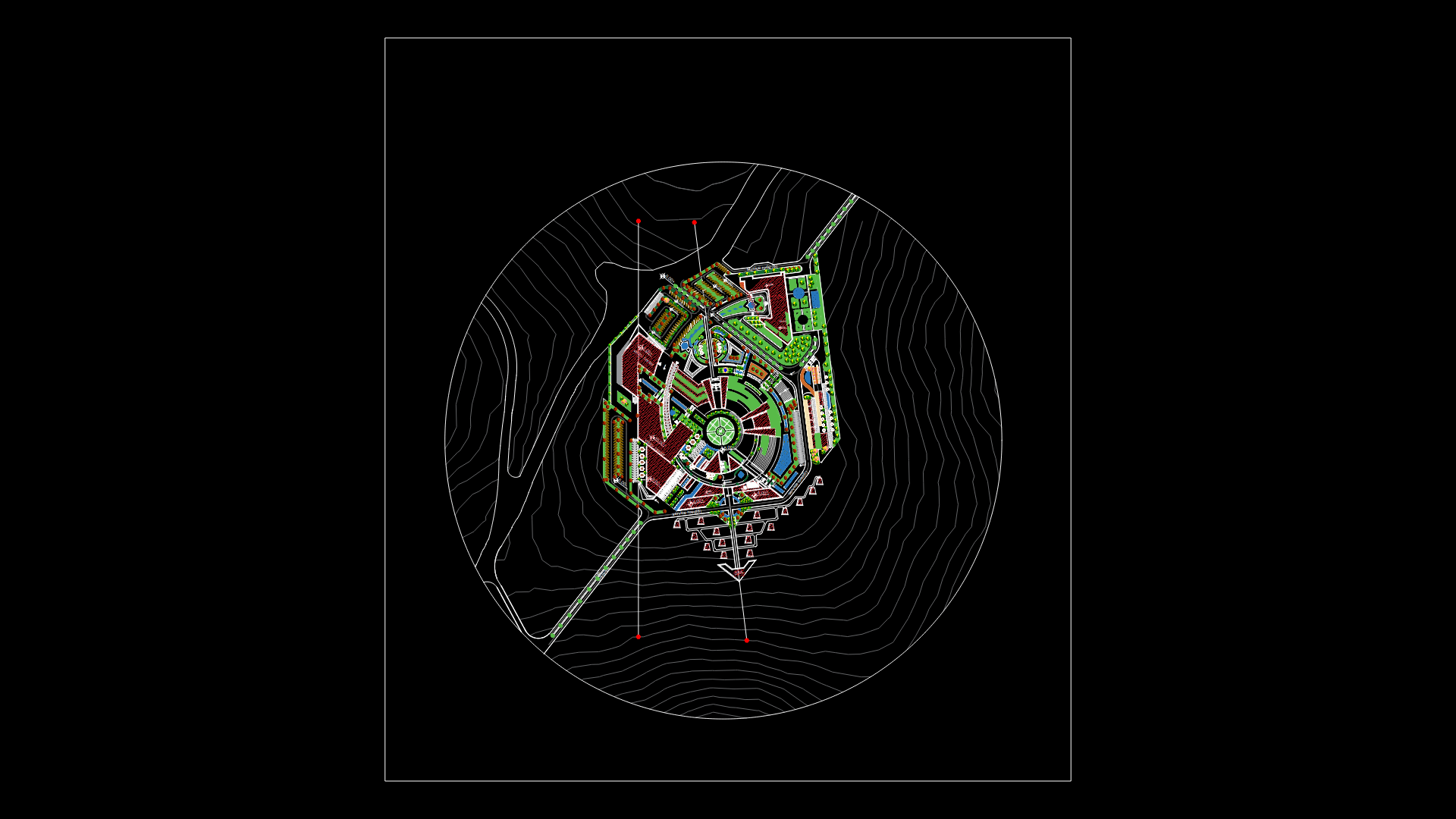
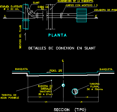
Akualand Urbanization DWG Full Project for AutoCAD
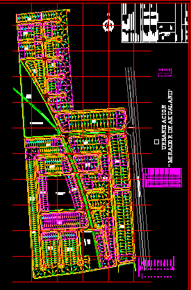
Project urbanization at Santa Cruz de la Sierra – Bolivia
Drawing labels, details, and other text information extracted from the CAD file (Translated from Spanish):
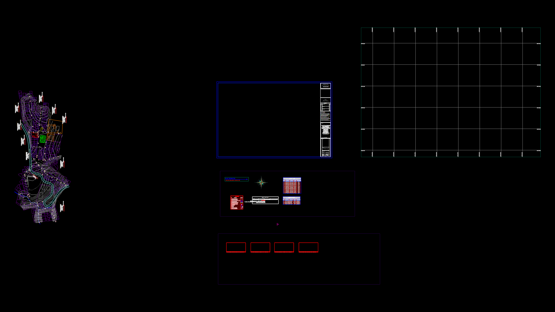
green area, urbanization, main Street, urban equipment, drainage channel, sewer, green area, green area, green area playground, you warn, track surface, green area, useful surface, surface area, owner, observations, location map, you warn, object, urbanization project, zone, opposite airport, Location, municipality, province, Department, Santa Cruz, approval, date, August, firm responsible, scale, cadastral nomenclature, urbanization, flat, cadastral nomenclature of origin, aqualand, Toll, carr. sta, airport, viruviru, Park, urbanization, urb., akualand, guapay, track surface, surface area, useful surface, green area, area equipment, open urbanization, area equipment, gated community, total land area, equipment, return, santa cruz road warnes, summary of urbanization areas, closed, Apple tree, lots, area, area, total, total summary of areas, Apple tree, lots, area, total, summary of areas open urbanization, Apple tree, lots, area, area, total, draft
Raw text data extracted from CAD file:
| Language | Spanish |
| Drawing Type | Full Project |
| Category | City Plans |
| Additional Screenshots |
 |
| File Type | dwg |
| Materials | |
| Measurement Units | |
| Footprint Area | |
| Building Features | Car Parking Lot, Garden / Park |
| Tags | autocad, beabsicht, bolivia, borough level, cruz, de, DWG, full, la, political map, politische landkarte, Project, proposed urban, road design, santa, sierra, stadtplanung, straßenplanung, urban design, urban plan, urbanization, zoning |
