Axis Line Highway With Civilcad DWG Block for AutoCAD

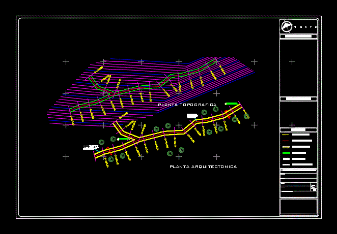
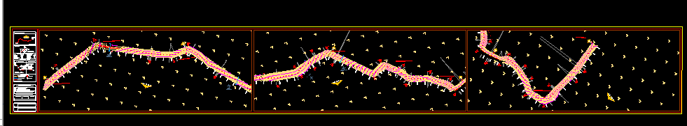
How to calculate and plot for a road axis line with Civilcad program.
Drawing labels, details, and other text information extracted from the CAD file:
agua, potable, nahualapan, marhame, cihuacoatl, meztli, isabeltola, cjon. sta., mitz, xochiquetzal, potonchan, av. huitzilihuitl, citli, tlacamichin, tlazolteotl, tlacopan, avenida insurgentes, priv. i. verdes, chalchin, coatlic, mixcoatl, camestli, cacama, chantico, tenochtitlan, tepalcatzin, camino:, carretera mexico – toluca, tramo:, estacion:, sub-tramo:, la marqueza, origen:, f a z e n d a, p i t i m b u, mata, le entrada, le salida, ste, cuadro de curvas horizontales, curva, delta, radio, arco, stan, cuerda, area, bajo cuerda, rumbo cuerda, perfil eje de proyecto, pcv, piv, ptv, eje de trazo, limite vial, cuadro de construccion de eje, lado, distancia, rumbo, coordenadas, est
Raw text data extracted from CAD file:
| Language | English |
| Drawing Type | Block |
| Category | Roads, Bridges and Dams |
| Additional Screenshots |
 |
| File Type | dwg |
| Materials | Other |
| Measurement Units | Metric |
| Footprint Area | |
| Building Features | |
| Tags | autocad, axis, block, cálculate, DWG, HIGHWAY, line, pavement, plot, program, Road, route |
Related Products


Same Contributor

Featured Products