Base Map Of Topography DWG Block for AutoCAD

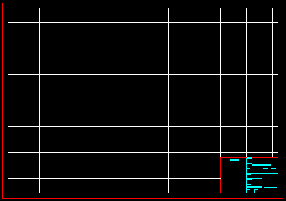
Map with a 10m grid. Lifting planimetric
Drawing labels, details, and other text information extracted from the CAD file (Translated from Spanish):
inn, veronica, italian lido, tourist complex, soccer, court, underground aqueduct, maria angelica, lighthouse, backwater, court, multi-, coquimbo, rotary club, avenida el sauce, colon avenue, raul del rio condominium, p. branches of the luclan valley, calle Carlos condell, the dunes of the horseshoe, serena university, sector, fourth, coquimbo, date, scale, ing. of execution in mines, perimeter, surface, symbology, plan, owner, commune, province, region, architecture type plant, guillermo ehlers bustamante, signatures, plot scale, format, content :, location:, architect:, owner:, project , no :, carp. income sun, role property, scale:, date, indicated, drawing, file cad., floor no., building don lorenzo, the horseshoe coquimbo, rev., modifications, planes are issued for, municipality, plant type building aqua la herradura, manuel daire daud, s. baquedano, blueprint, the horseshoe, real estate cps s.a., repr. legal real estate c.p.s. sa, real estate, don lorenzo, building, material, revisions, date :, scale :, general floor, revision no .:, location, code sheet, content:, of architecture, approved, floor:, floor type building don lorenzo, owner: , real estate cps, representative:, constructor, constructor cps ltda., representative, nicolas bakulic govorcin
Raw text data extracted from CAD file:
| Language | Spanish |
| Drawing Type | Block |
| Category | Handbooks & Manuals |
| Additional Screenshots |
 |
| File Type | dwg |
| Materials | Other |
| Measurement Units | Metric |
| Footprint Area | |
| Building Features | |
| Tags | autocad, base, block, DWG, grid, lifting, map, topography |


