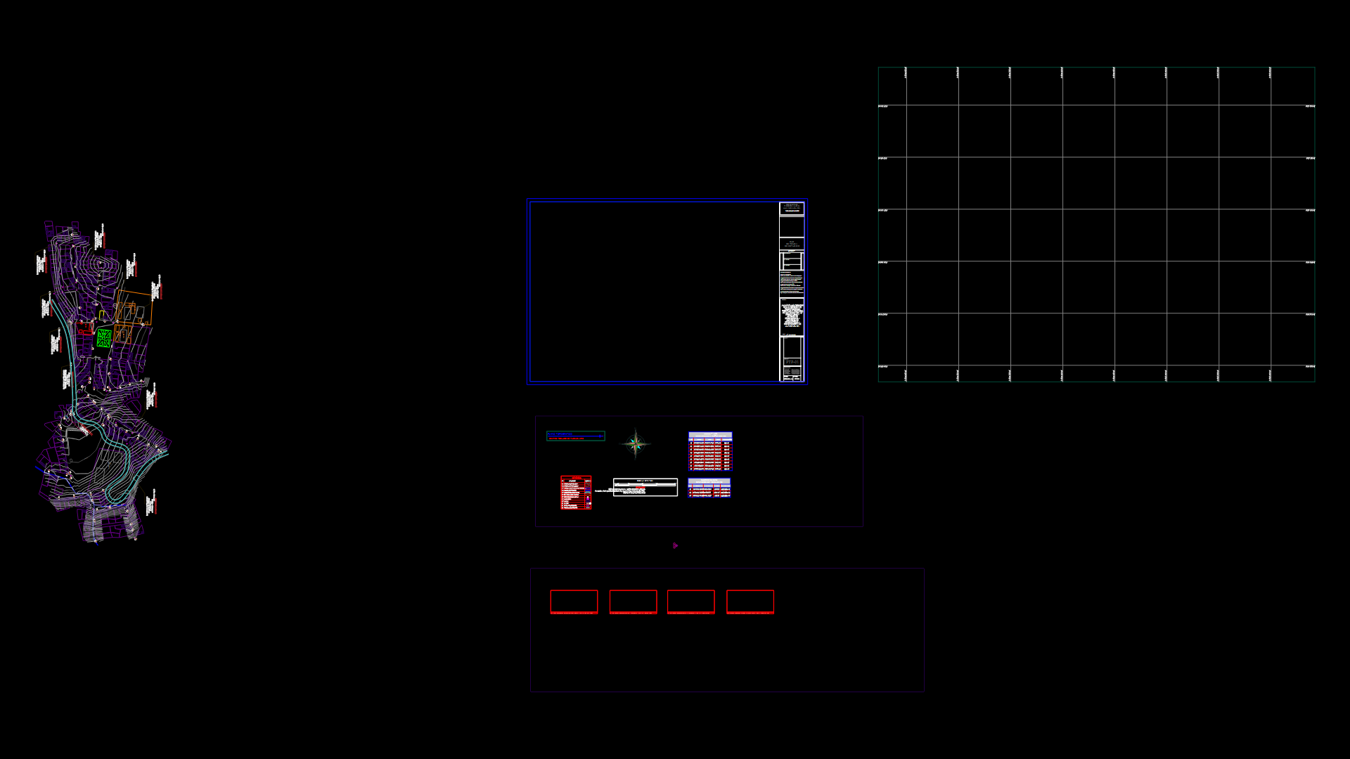
Cadastral Plane Conceocion Province DWG Block for AutoCAD

Cadastral plane of Province Concepcion with measures
Drawing labels, details, and other text information extracted from the CAD file (Translated from Spanish):
n.m., provincial municipality, of conception, located outside the perimeter, on neighboring country land, use easements of passage, lots of mz, area, rpi orraac, Commerce, area, F. F., F. F., cultural sports, unlockable equipment, of transcriptions, F. F., F. F. F., F. F. F., easement no, evangelical, unlockable equipment, fjs. I take, see, comes from the vertex, Commerce, area, Commerce, area, area, reserved area, Commerce, area, Park, area, reserved area, Commerce, area, Commerce, area, serv. communal, serv. communal, other purposes, of teachers, area, other purposes, area, serv. communal, other purposes, reserved area, equip. urb. salable, area, reserved area, Commerce, area, Mr. of the, Maria, reserved area, sports area, education, education, reserved area, reserved area, area, F. F., easement no, area, education
Raw text data extracted from CAD file:
| Language | Spanish |
| Drawing Type | Block |
| Category | City Plans |
| Additional Screenshots |
 |
| File Type | dwg |
| Materials | Other |
| Measurement Units | |
| Footprint Area | |
| Building Features | Car Parking Lot, Garden / Park |
| Tags | autocad, beabsicht, block, borough level, cadastral, concepcion, DWG, Measures, plane, political map, politische landkarte, proposed urban, province, road design, stadtplanung, straßenplanung, urban design, urban plan, zoning |


