Cartago Costa Rica Citymap DWG Block for AutoCAD
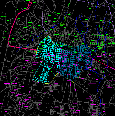
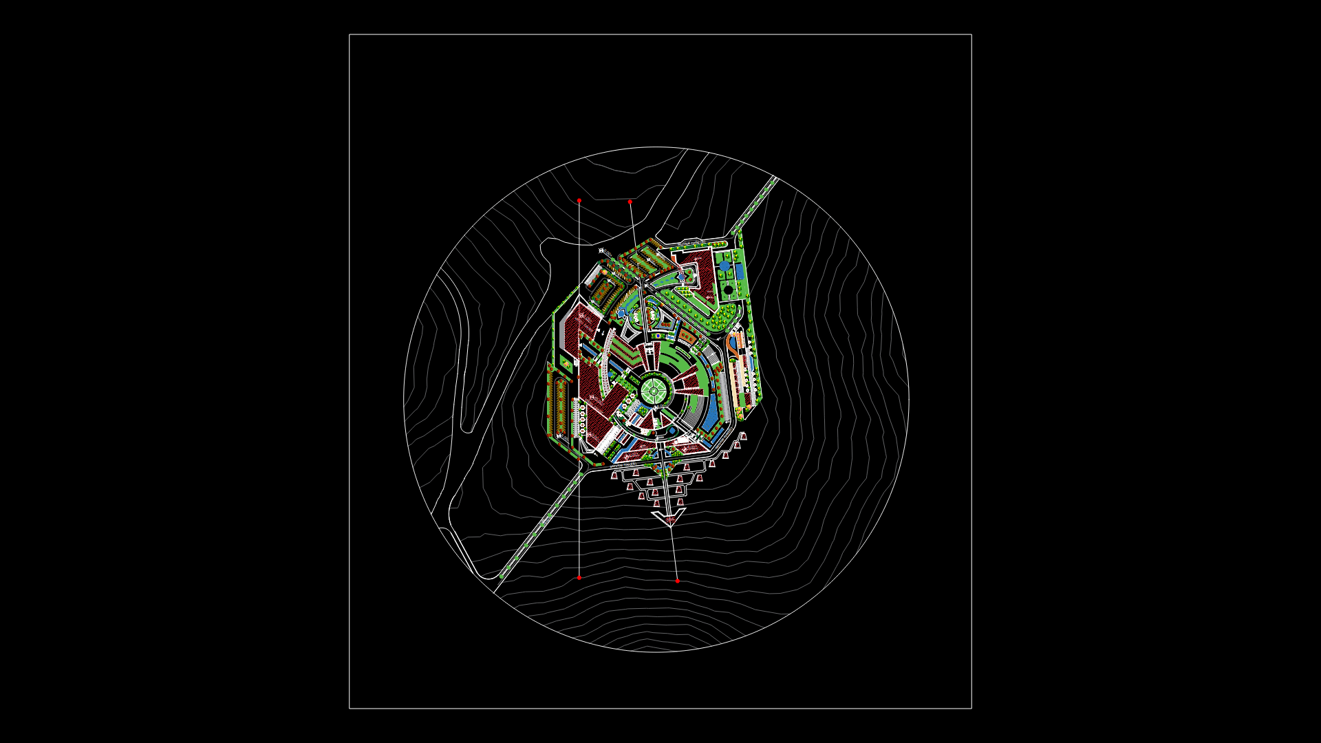
Map of the city of Carthage with corresponding contour and location of historical sites
Drawing labels, details, and other text information extracted from the CAD file (Translated from Spanish):
guadeloupe, school carlos peralta, cemetery, mill, plaza, library, san cayetano, labor, plaza mayor, benefit, sports center, school san luis gonzaga, hospital, asis, cross, sawmill, five, corners, palms, fatima, asylum, gas, jasec, murillo, cartago station, jesus jimenez, convent, asylum claudio volio, deposit, school julian volio, santa eduviges, school, san luis, gonzaga, churches, school, jesus, jiménez, rafael, hernadéz, independence, public, plaza de la, san bosco, ascension, esquivel, hospital, max, peralta, palace, municipal, cathedral, del carmen, casa de la, city, market, central, club cartago, station, bus, lumaca, sacred, heart, from padua, metro center, ban. credit, university college, cartago, church, calvary, stadium, water, c fray llorens, ruins, elias bonilla, angeles, galley, cartago, istaru, college vicente lachner, commander, railroad of costa rica, cruz de, caravaca, calle siles, santa fe, wiston, churchil, basilica de los, angeles, san antonio church, courts of justice, sanctuary, mucap, banc. popular, house, jesus jiménez, street del guarco, telles, breezes, center, sports, puebla, matamoros, park, finca guarco, finca venice, curtains, finca santa maria, santa gertrudis, americas, calle arseno, alfaro, fresh wind, barahona, finca isabel, liceo elias leiva, finca plantex, greenhouse, ford, street santa marta, marias, higueron, arenilla, jewel, finca chacara, cerrillos, stadium, pitahaya, crowned, silo, street leiva, tile, colony, savannah, calle cuco arrieta, street, av jose figueres, av juan brenes, av san bosco, guayabal, cerro guarco, finca la quinta, plaza de toros, jose vargas avenue, asuncion avenue, asuncion, ricardo jimenez school, padua, hacienda aguacaliente, cocori , orphanage, street zopilota, municipal slaughterhouse, street cerrillo, farm vega, street weighs old, san rafael, forest, artavia, plain, white horse, school process solano, technological institute of costa rica, clinic, adepa, aguacaliente, school juan vasquez , cem., san francisco, hervidero, finca nice view, sweet name, faustino Sarmiento school, the high, florencio del castillo highway, industrial zone, protective zone, the carpintera, ochomogo, school carlos monge, snail, high taras, taras, san nicolas, taras, school rep. french, roses, round, violin, hacienda lima, lima, school arturo volio, finca piza, nazareth, cooperrosales, quircot, pipeline, spinal, seraphic school, san francisco, seminary, vocational college, loyola, scree, johnson, dykes, orontes , plant mopt, turbine, fallen farm, street banderilla, tajo, street tank, farm julieta, solano, farm sanchez, sabanillas, children’s institute, for mental retardation, educational center, carlos valley, home creates, flowers, street san nicolas, asylum , gamboa, lopez, holy family, central avenue, central street, polo masis street, chacon street, juan pablo, sanabria, jesus heart, neighborhood, petra street, mary, helper, mons. sanabria, street two, cer, cas, chircagre, jora, fontana, carmen, san blas, central
Raw text data extracted from CAD file:
| Language | Spanish |
| Drawing Type | Block |
| Category | City Plans |
| Additional Screenshots |
 |
| File Type | dwg |
| Materials | Other |
| Measurement Units | Metric |
| Footprint Area | |
| Building Features | Garden / Park |
| Tags | autocad, beabsicht, block, borough level, city, contour, costa, costa rica, DWG, historical, location, map, political map, politische landkarte, proposed urban, rica, road design, sites, stadtplanung, straßenplanung, urban design, urban plan, zoning |
