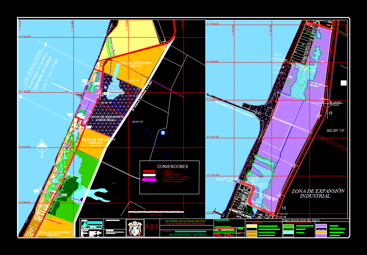
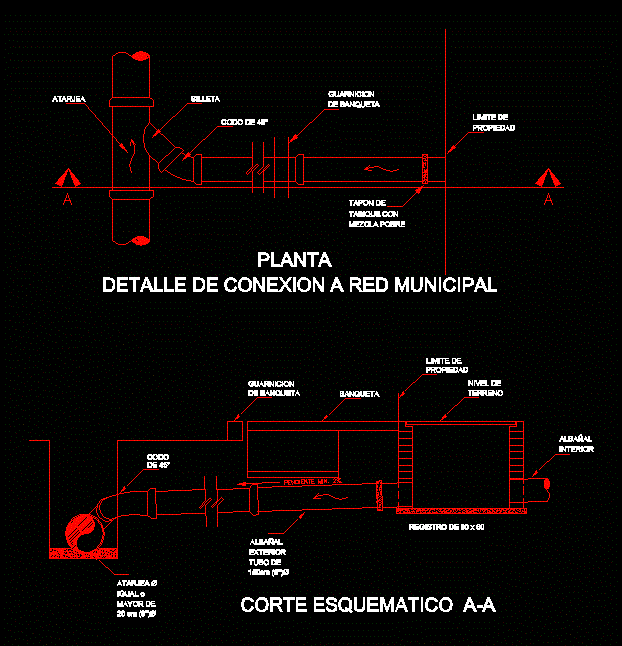
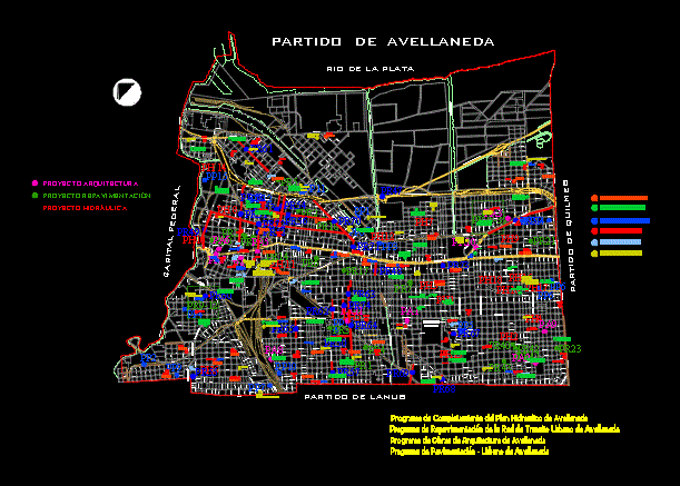
Company Gulf Port Demorrosquillo DWG Block for AutoCAD

Corresponding to the port company Morrosquillo Gulf enTolu Plano – Sucre
Drawing labels, details, and other text information extracted from the CAD file (Translated from Spanish):
p.o.t., interventory, department of municipal planning, architect, urbanism comp. urban, jaime r. hernandez hernandez, cadastre:, juridical, drawing acad:, sociology:, cartographer, sociologist, legal advisory group, h. christian amaya a., jacobo vasques, Miguel Garcia Torres, drinking water basic sanitation, production manager, workgroup., civil engineering, environmental, director:, ing. sanitary amb., ing. agronomist, architect, luis ubaldo davila perez, jorge luis villalobos sotomayor, luis hernando diaz carmona, jaime r. hernandez hernandez, municipal administration, hache, ernández cia. ltda., nit., consultant, formulation of management plan, flat, we are looking for the municipality we all want, sub area of coveñas stone point cove, sub area of tourist development according to treatment, contains:, scale:, igac., pot. year, upgrade:, instituto ceografico agustin codazzi, cartographic base, location of sub-sectors for the normatization of uses, southern coastal strip, sector:, municipality of santiago de tolú, territorial arrangement planning, this plan is part of a preliminary document therefore it is not official, space for signature revisions:, conventions, regional route, via municipal, pipelines, natural gas, reels veredales, water bodies, coastal line of, mangrove area, streams of, conventions, regional route, via municipal, pipelines, natural gas, reels veredales, water bodies, coastal line of, mangrove area, streams of, proposed regional route, proposed municipal road, existing beach access road, access road the proposed beach, mangrove area, brook the partridge, mat., pier port of morrosquillo, access road to maley, tolcemento, expansion zone, expansion zone, industrial, urban, sea sky, sea aurora, access road to maley, via the beach, pier port of morrosquillo, brook the partridge, municipality, street access paved beach, mangrove herons, The Golden, the cobblestone, jhonny, mangrove area, white stick bridge, tolcemento, sub industrial zone, boarding school, quarry materials, longi. km. mts., p.o.t., interventory, planning event, architect, urbanism comp. urban, jaime r. hernandez hernandez, cadastre:, juridical, drawing acad:, sociology:, cartographer, sociologist, legal advisory group, h. christian amaya a., jacobo vasques, Miguel Garcia Torres, drinking water basic sanitation, production manager, workgroup., civil engineering, environmental, director:, ing. sanitary amb., ing. agronomist, architect, luis ubaldo davila perez, jorge luis villalobos sotomayor, luis hernando diaz carmona, jaime r. hernandez hernandez, municipal administration, hache, ernández cia. ltda., nit., consultant, formulation of management plan, flat, we are looking for the municipality we all want, White stick, sub area of tourist development according to uses, contains:, scale:, graph, igac., pot. year, upgrade:, instituto ceografico agustin codazzi, cartographic base, location of sub-sectors for regulation
Raw text data extracted from CAD file:
| Language | Spanish |
| Drawing Type | Block |
| Category | City Plans |
| Additional Screenshots |
 |
| File Type | dwg |
| Materials | |
| Measurement Units | |
| Footprint Area | |
| Building Features | Car Parking Lot |
| Tags | autocad, beabsicht, block, borough level, company, DWG, plano, political map, politische landkarte, port, proposed urban, road design, stadtplanung, straßenplanung, sucre, urban design, urban plan, zoning |


