East side Landscape Site Plan with Security & Drainage Features
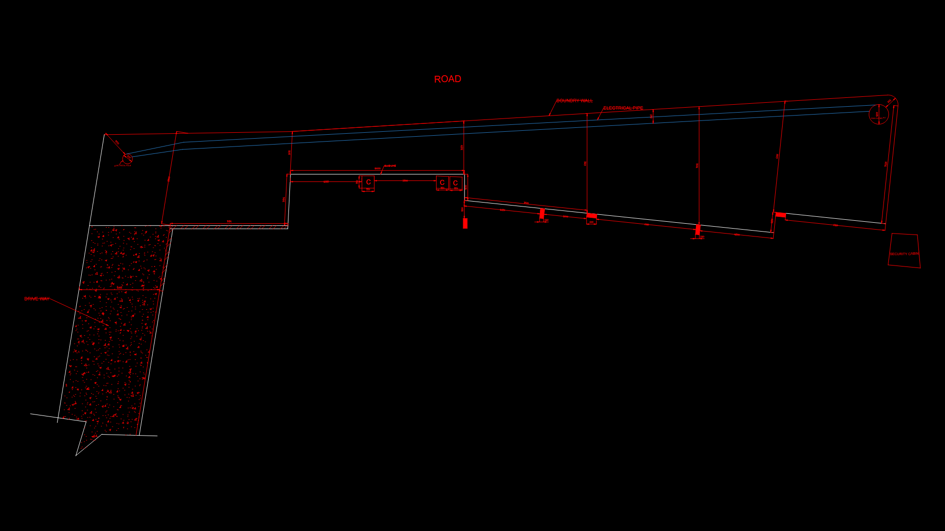
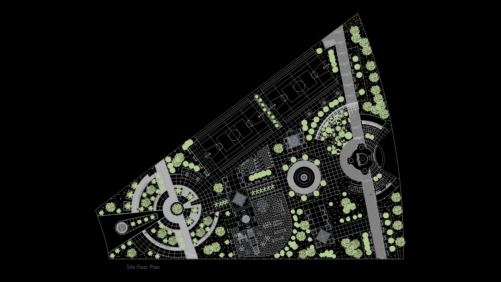
This site plan illustrates the eastern boundary landscape design of the Bliss residential development. The drawing depicts a long, irregularly-shaped property along a roadway with key infrastructure elements strategically positioned. A security cabin is situated near the property entrance for controlled access. The plan incorporates a rainwater pit as part of the site’s stormwater management system, collecting runoff for potential reuse or controlled discharge. Electrical infrastructure is integrated with utility poles marked along the boundary line. The layout features clear demarcation of property boundaries with dimension lines establishing setbacks and critical measurements. The southern portion includes a textured area indicating dedicated green space or vegetation buffer, which serves both aesthetic purposes and assists with site drainage. Access points and circulation paths are defined with consideration for both vehicular and pedestrian movement throughout the eastern perimeter.
| Language | English |
| Drawing Type | Plan |
| Category | Parks & Landscaping |
| Additional Screenshots | |
| File Type | dwg |
| Materials | |
| Measurement Units | Metric |
| Footprint Area | 2500 - 4999 m² (26909.8 - 53808.7 ft²) |
| Building Features | Parking, Garden / Park |
| Tags | boundary plan, landscape design, rainwater management, residential development, security infrastructure, site plan, utility layout |
Related Products
Same Contributor


Featured Products


