Enabling Urbana DWG Block for AutoCAD

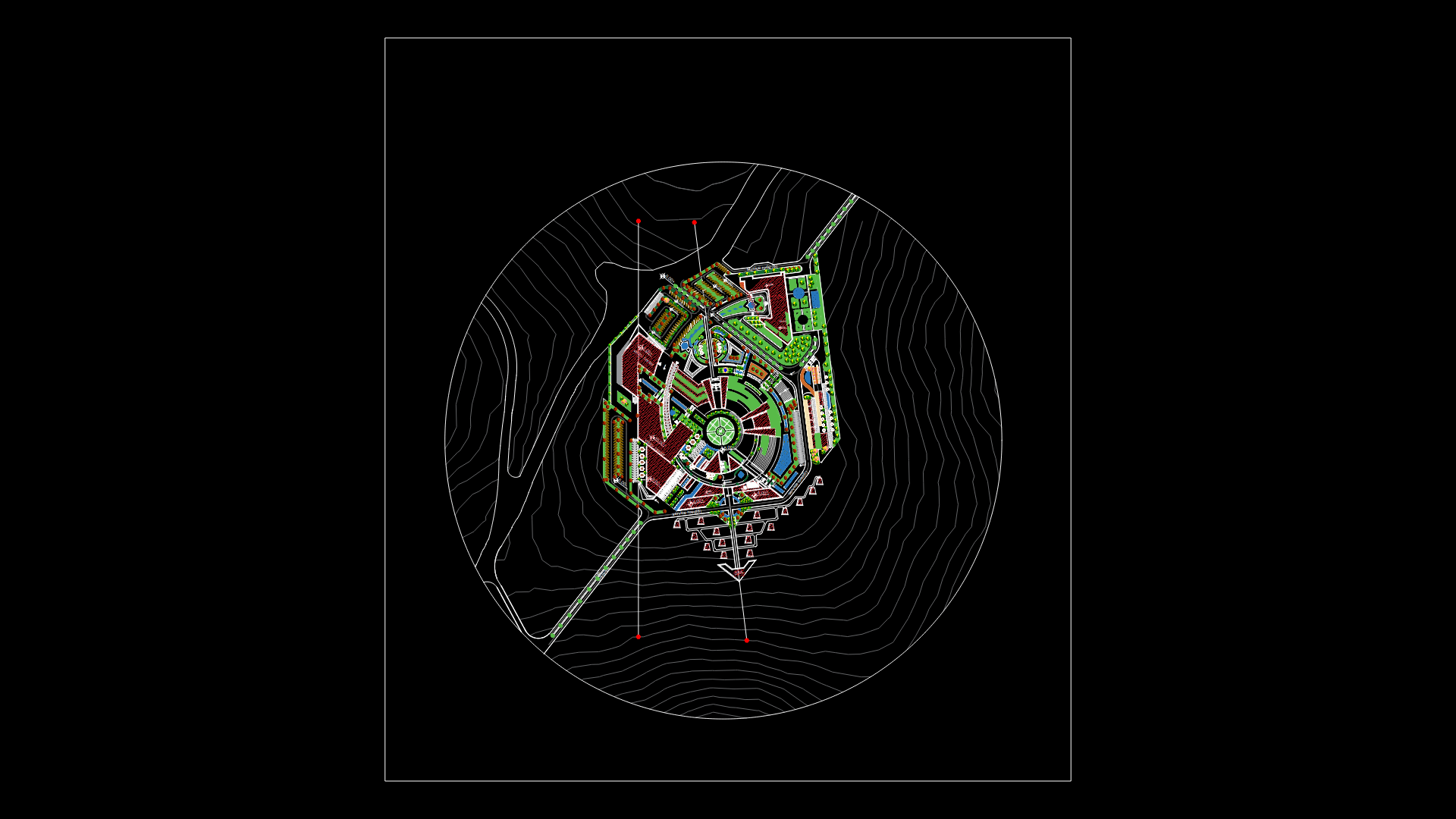
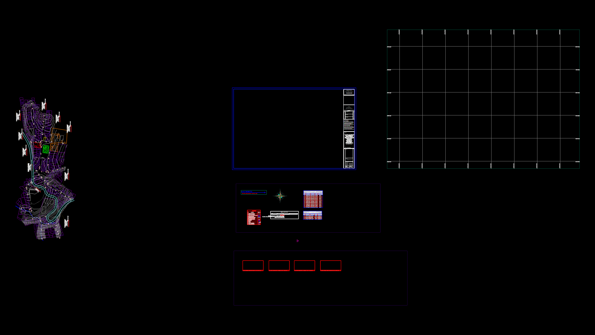
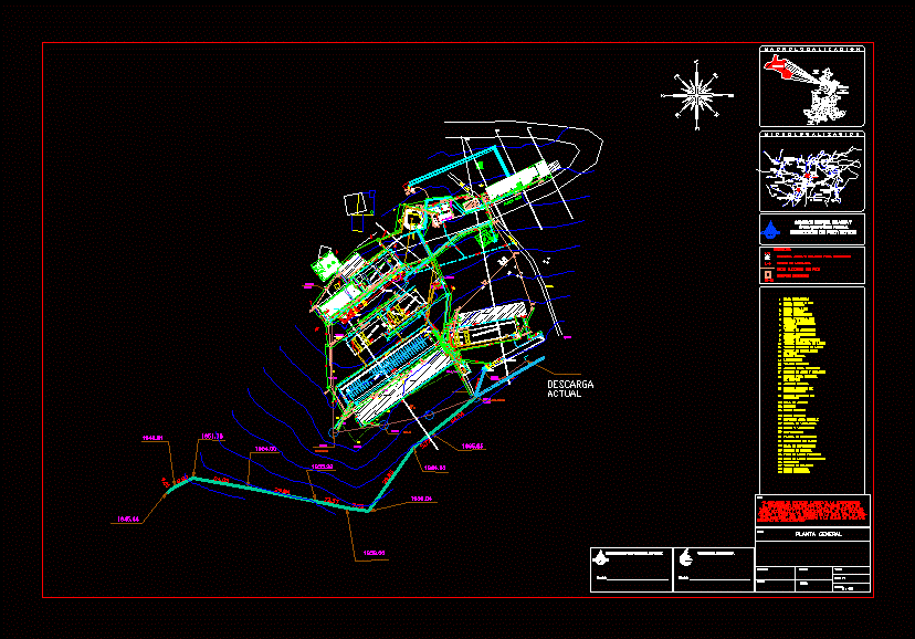
Urban empowerment; Allotment; MANZANEO; LOCATION AND LOCATION.
Drawing labels, details, and other text information extracted from the CAD file (Translated from Galician):
path, track, path, section, scale .:, section, scale .:, path, track, path, limit of ownership of urb., future expansion of lots, limit of ownership of urb., future road expansion, path, track, section, scale .:, San Juan prolongation, ramiro prialé street, calle santa catalina, san josé passage, san josé passage, prop virgilio benites, prop from third parties, prop gusmercindo vidaurre, prop Alberto Pinglo, San Juan prolongation, ramiro prialé street, calle santa catalina, san josé passage, area: ha, perimeter: ml., prop virgilio benites, prop gusmercindo vidaurre, prop Alberto Pinglo, perimeter edges uc, on the front, with urban helmet of measure ml., on the right, with your neighbor of virgilio benites measures ml., on the left, with your neighbor by Alberto, by the bottom, with your neighbor To gusmercindo irrigation canal by means of measuring ml., area, perimeter, perimeter edges uc, on the front, with urban helmet of measure ml., on the right, with your neighbor of virgilio benites measures ml., on the left, with your neighbor by Alberto, by the bottom, with your neighbor To gusmercindo irrigation canal by means of measuring ml., area, perimeter, localization scheme, area of urban structure, regulatory framework, declared areas, total, partial, new, demolition, existing, floors, covered area, free area, land area, parameters, normative, project, uses, net density, building coefficient, free area, maximum height, minimum withdrawal, frontal, lateral, later, front of the lot, no parking, not enforceable, rooftop floors, location, esc .:, indicated, October, housing, minimum batch area, project:, responsible:, scale:, date:, lamina:, Lambayeque department, tucume district, Lambayeque province, prepared by:, plane:, Location matrix batch location, municipality, district of you, owner:, drainage, melchora, the number, chancay river, Bernardino, healthy branch, san pedro branch, huaca, rural, houses, ruins, archaeological, pyramid, the viewpoint, houses, rural, houses, tucume, houses, rural, awake, young town, federico villarreal, tucume, owner, plane:, drawing:, date, esc., lamina, prov. dep., address:, district:, tucume, project:, urban empowerment, perimeter plane uc, location, perimetric, I missed it, lotion, town of Túcume, owner, plane:, drawing:, apple plane, date, esc., lamina, prov. dep., address:, district:, project:, urban empowerment, apple plane, tucume, location plane, scale, plane:, responsible:, elaborated by:, project:, urban, lamina, municipality, district of, take me, scale:, date:, owner:, section of roads, plane dotted lotion, scale:, prop virgilio benites, prop gusmercindo vidaurre, prop Alberto Pinglo, prop from third parties, fenced from tucume, location sector, santa elva background, path, area: ha, perimeter: ml.
Raw text data extracted from CAD file:
| Language | N/A |
| Drawing Type | Block |
| Category | City Plans |
| Additional Screenshots |
 |
| File Type | dwg |
| Materials | |
| Measurement Units | |
| Footprint Area | |
| Building Features | Car Parking Lot, Garden / Park |
| Tags | allotment, autocad, beabsicht, block, borough level, DWG, empowerment, enabling, location, manzaneo, political map, politische landkarte, proposed urban, road design, stadtplanung, straßenplanung, urban, urban design, urban plan, urbana, zoning |


