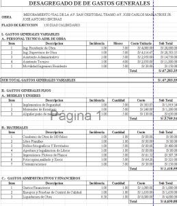
Flush Project DWG Full Project for AutoCAD

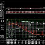
Project-level flush junction 1 km civil cad developed vertical curves calculation and box quantities of work as well as alignment horizantal
Drawing labels, details, and other text information extracted from the CAD file (Translated from Spanish):
general direction of federal roads, communications secretary, and transport, undersecretary of, infrastructure, sct, secretariat, communications, underlying layer, final project, contractor :, drainage :, chief department :, earthworks :, notes :, subgrade layer, in embankment, thickness in m., in section, ident., earthworks, earthwork project, section, content :, project :, from km to km., key :, origin of cad., scale :, date :, steel reinforcement, structural steel, pipes, demolitions, compacted to, board for embankment channels, concrete, mass, material b, material c, material a, cyclopean, minor drainage, zampeado, masonry, excavations, ton., bandeado, material product of the cuts, m-hm-ad., material product of the loans of bank, compaction, formation and, built on material, m km subs., of the filling to form layer, camped excavation, laying and compacted, subgrade in cuts, no compactable, m station, acar inmates, m hm, of the natural terrain in the area, of embankment embankment, of the bed of the cuts, of existing earthworks, of the upper layer of embankments, of terraplanes with or without, of existing pavements, cradle of refinement, , compact -, m km, vol. water m, quantities of work, embankments, mat. tapped, for rudeness, mat. wasted, bench no., cutting crown recesses, league steps, loans, total, despalme, boxes for rude, cuts and exc. additional, despalmes in courts, ha., general direction of federal highways-sct, ex. ac. tea. co., haul after, waste, polygonal reference, np or ch., project data, road type, maximum curvature, crown width, pavement thickness, year, project speed, governor slope, road width, kph , curve data, horizontal alignment geometry, trace references, curve, st or ste, oe, pc or tee, pi or pst, pt or et, of over-, geometric, movement, unit, no., carry, amount, movement of terraces, distance of payment, volume, distance, volume x distance, director of road projects, m km sub., maximum slope, elevation of the subgrade, drainage works, stratigraphy, classification, elevation natural terrain, right m. , extension, left m., elevate, over-, right, left, third, esc :, embankment body, subgrade and underlying layers, right-of-way, to black stones, new, cam, s. a., i-b, km., est., hm., of project, type section in terraplen, current, section type in court, general direction, of federal highways
Raw text data extracted from CAD file:
| Language | Spanish |
| Drawing Type | Full Project |
| Category | Roads, Bridges and Dams |
| Additional Screenshots |
 |
| File Type | dwg |
| Materials | Concrete, Masonry, Steel, Other |
| Measurement Units | Metric |
| Footprint Area | |
| Building Features | |
| Tags | autocad, cad, calculation, civil, curves, developed, DWG, flush, full, HIGHWAY, junction, km, pavement, Project, Road, roads, route, vertical |
