Fractionation Pachuca DWG Full Project for AutoCAD

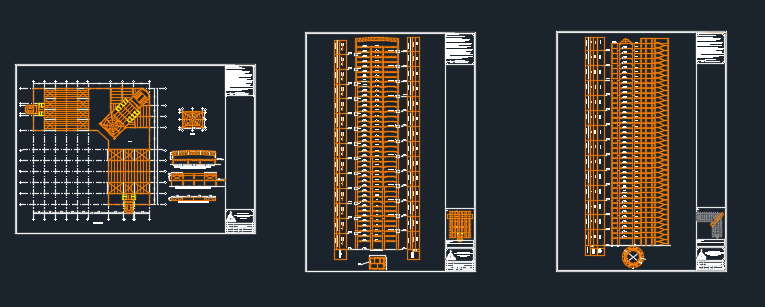
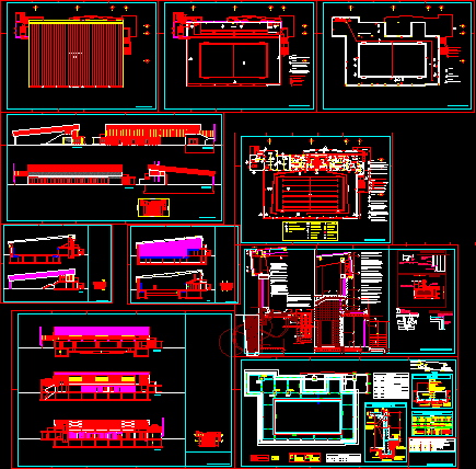
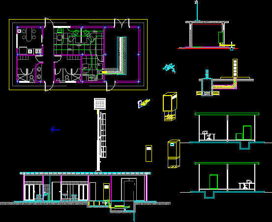
Plan a subdivision. It contains the subdivision of the project cuts roads; reference table (table surfaces – lots section. Box areas) bounded; esc 1: 1000.
Drawing labels, details, and other text information extracted from the CAD file (Translated from Spanish):
Raw text data extracted from CAD file:
| Language | Spanish |
| Drawing Type | Full Project |
| Category | City Plans |
| Additional Screenshots |
 |
| File Type | dwg |
| Materials | |
| Measurement Units | |
| Footprint Area | |
| Building Features | Car Parking Lot |
| Tags | autocad, beabsicht, borough level, cuts, DWG, fractionation, full, pachuca, plan, political map, politische landkarte, Project, proposed urban, reference, road design, roads, stadtplanung, straßenplanung, subdivision, surfaces, table, urban design, urban plan, zoning |
Related Products

Same Contributor

Featured Products


