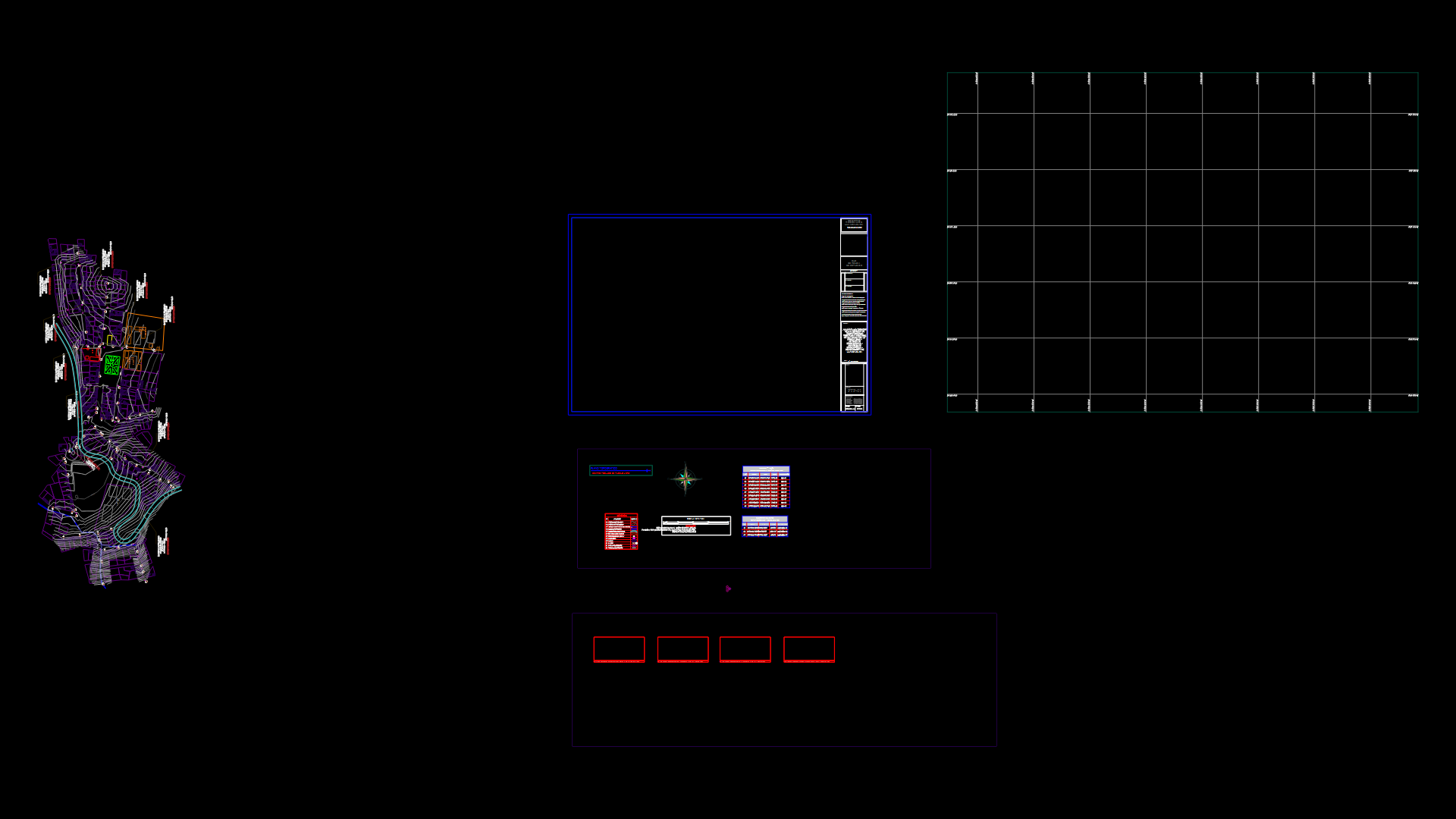
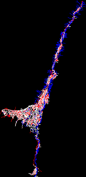
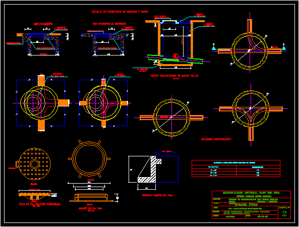
Map And Master Plan Palmilla, Chile DWG Plan for AutoCAD

Map and master plan for the town of Palmilla (San Jose del Carmen) in the Colchagua Valley, Chile
Drawing labels, details, and other text information extracted from the CAD file (Translated from Spanish):
bernardo o’higgins, community regulator palmilla plan, town of palmilla, municipal secretary, director of municipal works, mayor, housing, draft, code no., scale, conservative real estate file, Cecilia Vidal Bravo, hereby certify that the present communal, the executive secretary of the regional council that subscribes, of, was approved by agreement no. Of date, regional ministerial secretary, executive secretary, housing urbanism vi region of the liberator, regional ministerial secretary, illustrious municipality of palmilla, vi region, infrastructure, intendant president, December, consulting architect, file the plan of the community palmilla regulatory plan in the, real estate conservator of ………………………, regional government vi region of the liberator, head unit urban development, nelson cabrera marambio, mario peña perez, ximena channels poblete, beatriz valenzuela van treek, Carlos looks at busts, regional government vi region, carlos bravo barros, jorge san martin leyton, Minister of faith, author previous studies, regional council vi region, channel, zone boundary, existing non-structuring route, projected structuring route, existing structuring route, index level curve, secondary level curve, river tinguiririca, building, projected non-structuring route, urban boundary, symbology, equipment, residential, consolidated area:, expansion areas:, residential, equipment, areas of restriction protection:, protection, public space, historic conservation, commercial housing, mixed housing, high density, educational, sporty, Places to visit in santiago de palmilla gijón de extremadura, green areas, medium density, spa tourism, artificial river beds, projected median, green areas, railway protection, risk zone limit, flood, restriction, flood risk, security, zoning, was approved by agreement of the council of i.municipalidad de palmilla, the undersigned municipal secretary certifies that the regulatory plan, date ratified by alcalde decree, rio tinguiririca, av. the cannons, federico errázuriz, luis hernán granier, kennedy, elena errázuriz, central, the orange grove, the pines, Manuel Rodríguez, Street, beautiful valley, projected street, projected street, holy water road, Santa Cruz, san miguel de huique road, projected street, path, local, service road, the palms, the walnuts, passage, av. the huique, San Miguel, projected street, covered bridge, boundary, limit flood risk river tinguiririca, Street, federal bridge errázuriz, federal park errázuriz, house house ruins, population, capped bridge villa, el huique museum, ex theater, the huique, typical zone boundary, Street, neighborhood alley, bernardo o’higgins, community regulator palmilla plan, municipal secretary, director of municipal works, mayor, housing urbanism, code no., scale, conservative real estate file, Juan Menares, community regulatory plan, of, was approved by agreement no. Of date, vi region of liberta
Raw text data extracted from CAD file:
| Language | Spanish |
| Drawing Type | Plan |
| Category | City Plans |
| Additional Screenshots |
 |
| File Type | dwg |
| Materials | |
| Measurement Units | |
| Footprint Area | |
| Building Features | Car Parking Lot, Garden / Park |
| Tags | autocad, beabsicht, borough level, carmen, chile, del, DWG, jose, map, master, plan, political map, politische landkarte, proposed urban, road design, san, stadtplanung, straßenplanung, town, urban design, urban plan, zoning |


